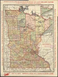
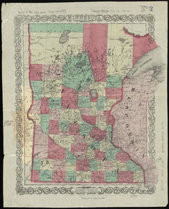
Colton's township map of the state of Minnesota
Item Information
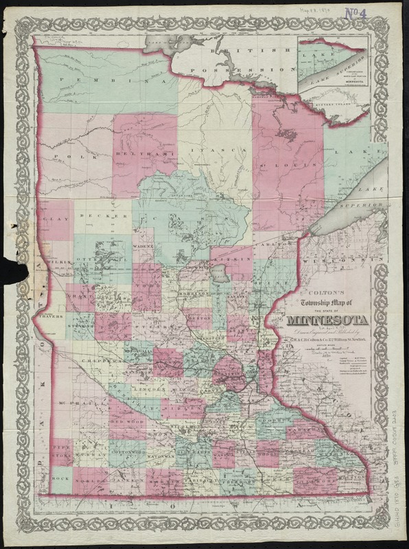
- Title:
- Colton's township map of the state of Minnesota
- Creator:
- G.W. & C.B. Colton & Co
- Name on Item:
-
drawn, engraved and published by G.W. & C.B. Colton & Co.
- Date:
-
1870
- Format:
-
Maps/Atlases
- Location:
-
Boston Public Library
Norman B. Leventhal Map Center - Collection (local):
-
Norman B. Leventhal Map Center Collection
- Subjects:
-
Minnesota--Maps
- Places:
-
Minnesota
- Extent:
- 1 map : hand col. ; 55 x 42 cm.
- Terms of Use:
-
No known copyright restrictions.
No known restrictions on use.
- Publisher:
-
New York :
The Company
- Scale:
-
Scale [ca. 1:1,188,000]
- Language:
-
English
- Notes:
-
Prime meridians: Greenwich and Washington.
Inset: Continuation of the north east portion of Minnesota.
"Entered acording to Act of Congress in the year 1867 by G.W. & C.B. Colton & Co. in the Clerks Office of the District Court for the Southern District of New York."
- Identifier:
-
06_01_011223
- Call #:
-
G4140 1870 .G83
- Barcode:
-
39999065682203