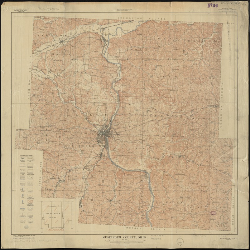
Muskingum County, Ohio
Item Information
- Title:
- Muskingum County, Ohio
- Title (alt.):
-
Topography, Muskingum County, Ohio
- Creator:
- Geological Survey (U.S.)
- Name on Item:
-
U.S. Geological Survey ; surveyed in cooperation with the State of Ohio.
- Date:
-
1912
- Format:
-
Maps/Atlases
- Location:
-
Boston Public Library
Norman B. Leventhal Map Center - Collection (local):
-
Norman B. Leventhal Map Center Collection
- Subjects:
-
Muskingum County (Ohio)--Maps
- Places:
-
Muskingum (county)
- Extent:
- 1 map : col. ; 74 x 76 cm.
- Terms of Use:
-
No known copyright restrictions.
No known restrictions on use.
- Publisher:
-
[Washington] :
U.S. Geological Survey
- Edition:
- Ed. of May, 1912.
- Scale:
-
Scale 1:62,500
- Language:
-
English
- Notes:
-
Relief shown by contours and spot heights.
Includes index to atlas sheets.
At top of sheet: Topography.
"Surveyed in 1907-1909."
- Identifier:
-
06_01_011211
- Call #:
-
G4083.M9C2 1912 .G46
- Barcode:
-
39999065682393


