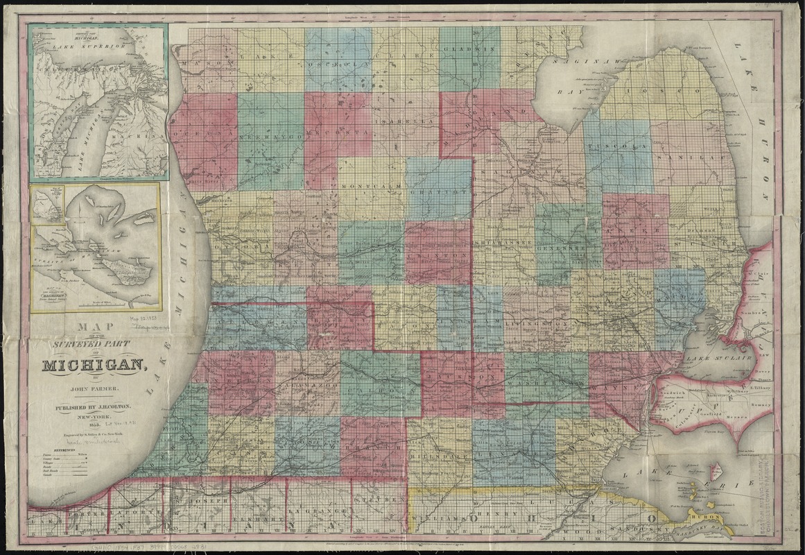
Map of the surveyed part of Michigan
Item Information
- Title:
- Map of the surveyed part of Michigan
- Creator:
- Farmer, John, 1789-1838
- Name on Item:
-
by John Farmer ; engraved by S. Stiles & Co.
- Date:
-
1853
- Format:
-
Maps/Atlases
- Location:
-
Boston Public Library
Norman B. Leventhal Map Center - Collection (local):
-
Norman B. Leventhal Map Center Collection
- Subjects:
-
Michigan--Maps
- Places:
-
Michigan
- Extent:
- 1 map : hand col. ; 57 x 83 cm.
- Terms of Use:
-
No known copyright restrictions.
No known restrictions on use.
- Publisher:
-
New-York :
J.H. Colton
- Scale:
-
Scale [ca. 1:540,000]
- Language:
-
English
- Notes:
-
Covers southern Michigan.
"Entered according to act of Congress in the year 1852 by J.H. Colton & Co. ..."
Prime meridians: Greenwich and Washington.
Insets: Northern part of Michigan -- Map of the Straits of Mackinaw.
- Identifier:
-
06_01_011163
- Call #:
-
G4110 1854 .F37
- Barcode:
-
39999065682831