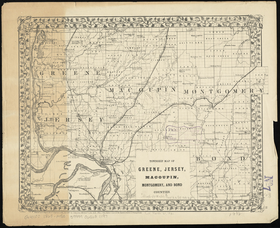
Township map of Greene, Jersey, Macoupin, Montgomery, and Bond Counties
Item Information
- Title:
- Township map of Greene, Jersey, Macoupin, Montgomery, and Bond Counties
- Creator:
- Mitchell, S. Augustus, (Samuel Augustus), Jr
- Publisher:
- Mitchell, S. Augustus, (Samuel Augustus), Jr
- Date:
-
1868
- Format:
-
Maps/Atlases
- Location:
-
Boston Public Library
Norman B. Leventhal Map Center - Collection (local):
-
Norman B. Leventhal Map Center Collection
- Subjects:
-
Bond County (Ill.)--Maps
Greene County (Ill.)--Maps
Jersey County (Ill.)--Maps
Macoupin County (Ill.)--Maps
Montgomery County (Ill.)--Maps
- Places:
-
Bond (county)
Greene (county)
Jersey (county)
Macoupin (county)
Montgomery (county)
- Extent:
- 1 map ; 25 x 32 cm
- Terms of Use:
-
No known copyright restrictions.
No known restrictions on use.
- Publisher:
-
Pennsylvania :
S. Augustus Mitchell Jr.
- Scale:
-
Scale approximately 1:350,000
- Language:
-
English
- Notes:
-
In lower right: 14.
Stamped in purple in lower right: No. 7.
Part of a collection of maps of Illinois counties.
- Identifier:
-
06_01_011122
- Call #:
-
G4100 1868 .M58
- Barcode:
-
30000005069890


