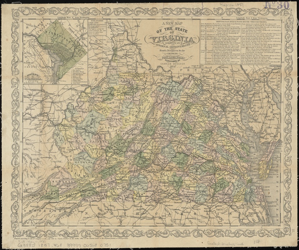
A new map of the state of Virginia : exhibiting its internal improvements, roads, distances, &c
Item Information
- Title:
- A new map of the state of Virginia : exhibiting its internal improvements, roads, distances, &c
- Creator:
- Young, J. H. (James Hamilton)
- Name on Item:
-
by J.H. Young.
- Date:
-
1857
- Format:
-
Maps/Atlases
- Location:
-
Boston Public Library
Norman B. Leventhal Map Center - Collection (local):
-
Norman B. Leventhal Map Center Collection
- Subjects:
-
Washington (D.C.)--Maps
Virginia--Maps--19th century
West Virginia--Maps--19th century
Washington (D.C.)--Maps--19th century
- Places:
-
Virginia
West Virginia
Washington
- Extent:
- 1 map : hand col. ; 30 x 38 cm.
- Terms of Use:
-
No known copyright restrictions.
No known restrictions on use.
- Publisher:
-
Philadelphia :
Published by Charles DeSilver
- Scale:
-
Scale [ca. 1:2,000,000].
- Language:
-
English
- Notes:
-
Relief shown by hachures.
Prime meridian: Washington, D.C.
Inset: District of Columbia.
Text: Principal rail, road & stage routes through Virginia.
"Entered according to an act of Congress in the year 1856 by Charles Desilver in the clerks office of the District Court of the Eastern District of Pennsylvania."
- Identifier:
-
06_01_010983
- Call #:
-
G3880 1857 .Y68
- Barcode:
-
39999065680751


