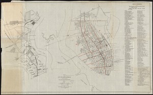
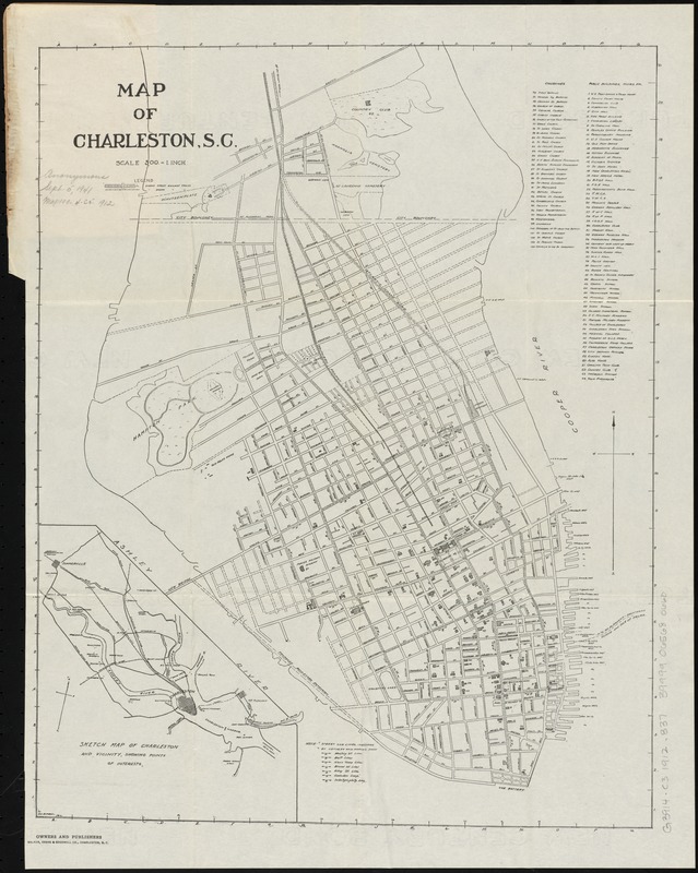
Map of Charleston, S.C
Item Information
- Title:
- Map of Charleston, S.C
- Creator:
- Barbot, D.C.
- Name on Item:
-
D.C. Barbot.
- Date:
-
[1912]
- Format:
-
Maps/Atlases
- Location:
-
Boston Public Library
Norman B. Leventhal Map Center - Collection (local):
-
Norman B. Leventhal Map Center Collection
- Subjects:
-
Charleston (S.C.)--Maps
- Places:
-
Charleston (county)Charleston
- Extent:
- 1 map ; 47 x 38 cm.
- Terms of Use:
-
No known copyright restrictions.
No known restrictions on use.
- Publisher:
-
Charleston, S.C :
Walker, Evans & Cogswell Co.
- Scale:
-
Scale [1:6,000]. 500 feet = 1 inch
- Language:
-
English
- Notes:
-
Inset: Sketch map of Charleston and vicinity, showing points of interest.
Includes key to points of interest and street car lines.
- Notes (date):
-
This date is inferred.
- Identifier:
-
06_01_010976
- Call #:
-
G3914.C3 1912 .B37
- Barcode:
-
39999065680660