Map of Adams Co., Pa
Item Information
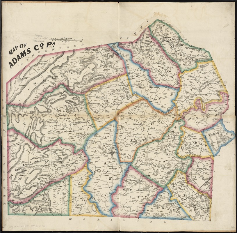
- Title:
- Map of Adams Co., Pa
- Date:
-
[1858?]
- Format:
-
Maps/Atlases
- Location:
-
Boston Public Library
Norman B. Leventhal Map Center - Collection (local):
-
Norman B. Leventhal Map Center Collection
- Subjects:
-
Landowners--Pennsylvania--Adams County--Maps
Adams County (Pa.)--Maps
- Places:
-
Adams (county)
- Extent:
- 1 map : hand col. ; 89 x 90 cm.
- Terms of Use:
-
No known copyright restrictions.
No known restrictions on use.
- Publisher:
-
Pennsylvania? :
s.n.
- Scale:
-
Scale [1:50,688]. 1 1/4 in. per mile
- Language:
-
English
- Notes:
-
Shows roads, railroads, townships, schools, quarries, houses in rural areas, and householders' names.
Relief shown by hachures.
- Identifier:
-
06_01_010927
- Call #:
-
G3823.A2 1858 .M37
- Barcode:
-
39999065679324
- LCCN:
-
2012592149


