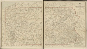
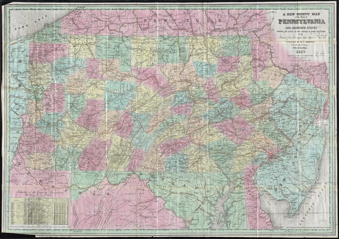
A new county map of the state of Pennsylvania and adjoining states : showing the route of the Central & other rail roads &c. &c. : reduced from the large state map
Item Information
- Title:
- A new county map of the state of Pennsylvania and adjoining states : showing the route of the Central & other rail roads &c. &c. : reduced from the large state map
- Creator:
- Otley, J. W.
- Name on Item:
-
by ; engraved on stone by Friend & Aub.
- Date:
-
1856
- Format:
-
Maps/Atlases
- Location:
-
Boston Public Library
Norman B. Leventhal Map Center - Collection (local):
-
Norman B. Leventhal Map Center Collection
- Subjects:
-
Counties--Pennsylvania--Maps
Railroads--Pennsylvania--Maps
Pennsylvania--Maps
- Places:
-
Pennsylvania
- Extent:
- 1 map : hand col. ; 63 x 90 cm.
- Terms of Use:
-
No known copyright restrictions.
No known restrictions on use.
- Publisher:
-
Philadelphia :
Published by R.L. Barnes
- Scale:
-
Scale [ca. 1:633,600]
- Language:
-
English
- Notes:
-
Relief shown by hachures.
Prime meridian: Washington.
Includes population statement and county statistics
Otley's name does not appear on the map.
"Entered according to an Act of Congress in the year 1852 by R.L. Barnes in the Clerk Office of the District Court of Pa."
- Identifier:
-
06_01_010915
- Call #:
-
G3821.P3 1853 .O75
- Barcode:
-
39999065679571