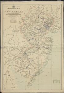
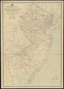
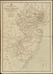
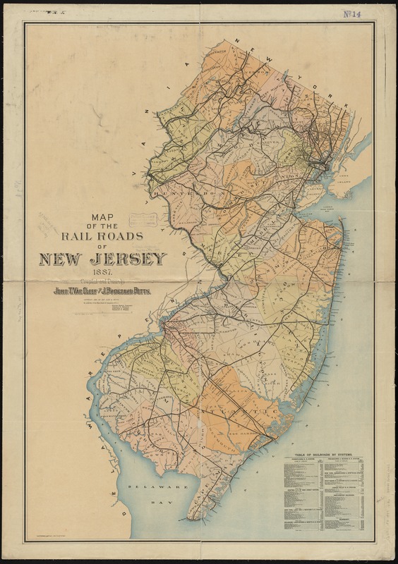
Map of the rail roads of New Jersey 1887
Item Information
- Title:
- Map of the rail roads of New Jersey 1887
- Description:
-
Township and county map showing drainage, cities and towns, and the railroad system with names. A table of railroads by system is in the lower right of map.
- Creator:
- Van Cleef, John T.
- Name on Item:
-
compiled and drawn by John T. Van Cleef and J. Brognard Betts.
- Date:
-
[1887]
- Format:
-
Maps/Atlases
- Location:
-
Boston Public Library
Norman B. Leventhal Map Center - Collection (local):
-
Norman B. Leventhal Map Center Collection
- Subjects:
-
Railroads--New Jersey--Maps
New Jersey--Maps
- Places:
-
New Jersey
- Extent:
- 1 map : col. ; 103 x 69 cm.
- Terms of Use:
-
No known copyright restrictions.
No known restrictions on use.
- Publisher:
-
New Jersey :
s.n.
- Scale:
-
Scale 1:285,120. 4 1/2 miles to an inch
- Language:
-
English
- Notes:
-
By authority of the State Board of Assessors of N.J.
- Notes (date):
-
This date is inferred.
- Identifier:
-
06_01_010904
- Call #:
-
G3811.P3 1887 .V36
- Barcode:
-
39999065679415
- LCCN:
-
98688516