Washington and vicinity
Item Information
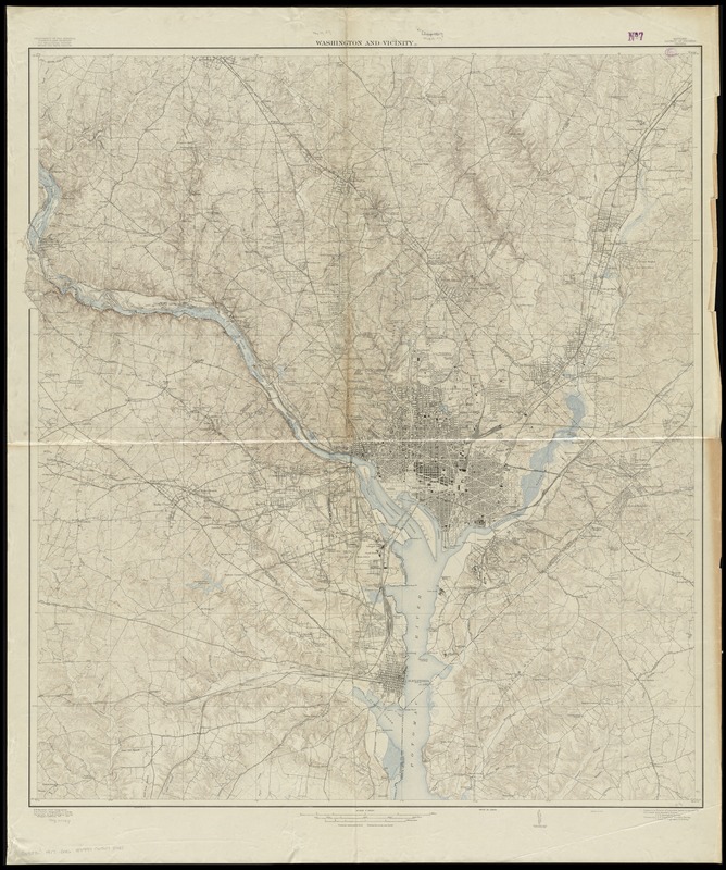
- Title:
- Washington and vicinity
- Creator:
- Geological Survey (U.S.)
- Name on Item:
-
U.S. Geological Survey.
- Date:
-
[1917?]
- Format:
-
Maps/Atlases
- Location:
-
Boston Public Library
Norman B. Leventhal Map Center - Collection (local):
-
Norman B. Leventhal Map Center Collection
- Subjects:
-
Washington (D.C.)--Maps
Washington Metropolitan Area--Maps
- Places:
-
Washington
- Extent:
- 1 map : col. ; 117 x 107 cm.
- Terms of Use:
-
No known copyright restrictions.
No known restrictions on use.
- Publisher:
-
Washington :
U.S. Geological Survey
- Edition:
- Ed. of 1917.
- Scale:
-
Scale 1:31,680
- Language:
-
English
- Notes:
-
Relief shown by contours and spot heights.
Contour interval 10 ft.
"Surveyed in 1913-1915."
- Identifier:
-
06_01_010825
- Call #:
-
G3850 1917 .G46
- Barcode:
-
39999065678441


