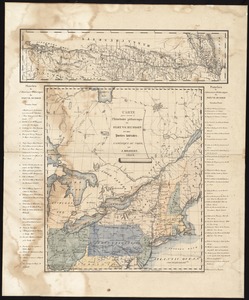
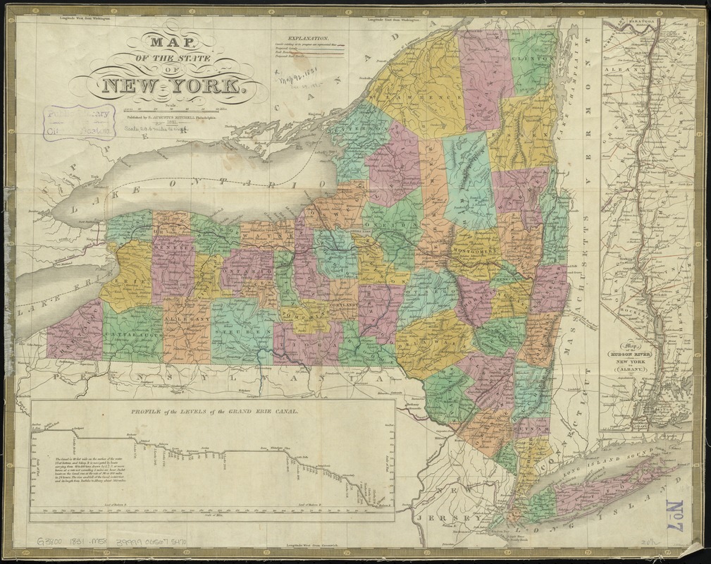
Map of the state of New York
Item Information
- Title:
- Map of the state of New York
- Creator:
- Mitchell, S. Augustus (Samuel Augustus), 1792-1868
- Date:
-
1831
- Format:
-
Maps/Atlases
- Location:
-
Boston Public Library
Norman B. Leventhal Map Center - Collection (local):
-
Norman B. Leventhal Map Center Collection
- Subjects:
-
New York (State)--Maps
Erie Canal (N.Y.)--Maps
Hudson River (N.Y. and N.J.)--Maps
- Places:
-
Hudson River
Erie Canal
- Extent:
- 1 map : hand col. ; 43 x 53 cm.
- Terms of Use:
-
No known copyright restrictions.
No known restrictions on use.
- Publisher:
-
Philadelphia :
S. Augustus Mitchell
- Scale:
-
Scale [ca. 1:1,290,000]
- Language:
-
English
- Notes:
-
Relief shown pictorially.
Insets: Map of the Hudson River, from New York to Albany -- Profile of the levels of the Grand Erie Canal.
- Identifier:
-
06_01_010612
- Call #:
-
G3800 1831 .M58
- Barcode:
-
39999065675470