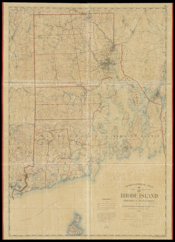
Topographical map of the state of Rhode Island and Providence plantations
Item Information
- Title:
- Topographical map of the state of Rhode Island and Providence plantations
- Creator:
- Geological Survey (U.S.)
- Contributor:
- U.S. Coast and Geodetic Survey
- Contributor:
- Rhode Island
- Name on Item:
-
by the United States Geological Survey in cooperation with the state
- Date:
-
1891
- Format:
-
Maps/Atlases
- Location:
-
Boston Public Library
Norman B. Leventhal Map Center - Collection (local):
-
Norman B. Leventhal Map Center Collection
- Subjects:
-
Rhode Island--Maps
- Places:
-
Rhode Island
- Extent:
- 1 map : color ; 157 x 108 cm.
- Terms of Use:
-
No known copyright restrictions.
No known restrictions on use.
- Publisher:
-
Providence, R.I ; Boston :
For sale by J.C. Thompson under the direction of the Commission ; Geo. H. Walker & Co.
- Scale:
-
Scale 1:62.500
- Language:
-
English
- Notes:
-
Relief shown by contours.
"Triangulation and topography by the U.S. Geological and the U.S. Coast & Geodetic Surveys. Surveyed 1885-1888."
"Contour interval, 20 feet. Datum, mean sea level. Water contour, 20 feet depth."
- Identifier:
-
06_01_010540
- Call #:
-
G3770 1891 .G46
- Barcode:
-
39999065674143


