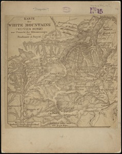
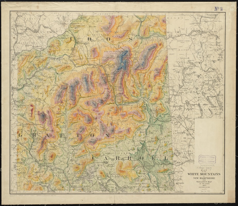
Map of the White Mountains of New Hampshire from Walling's map of the state, 1877
Item Information
- Title:
- Map of the White Mountains of New Hampshire from Walling's map of the state, 1877
- Creator:
- Walling, Henry Francis, 1825-1888
- Date:
-
1877
- Format:
-
Maps/Atlases
- Location:
-
Boston Public Library
Norman B. Leventhal Map Center - Collection (local):
-
Norman B. Leventhal Map Center Collection
- Subjects:
-
White Mountains (N.H. and Me.)--Maps
- Places:
-
White Mountains
- Extent:
- 1 map : color ; 60 x 71 cm.
- Terms of Use:
-
No known copyright restrictions.
No known restrictions on use.
- Publisher:
-
New York :
J. Bien
- Scale:
-
Scale [1:158,400]. 1 in. to 2 1/2 miles
- Language:
-
English
- Notes:
-
Relief shown by contours and gradient tints.
Differs from other 1877 edition: relief shown by hypsometric tints and lacks copyright statement.
Part of the map above the title statement is pasted over with a blank piece of paper.
- Identifier:
-
06_01_010518
- Call #:
-
G3742.W52 1877 .W31
- Barcode:
-
39999065674374