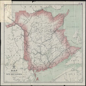
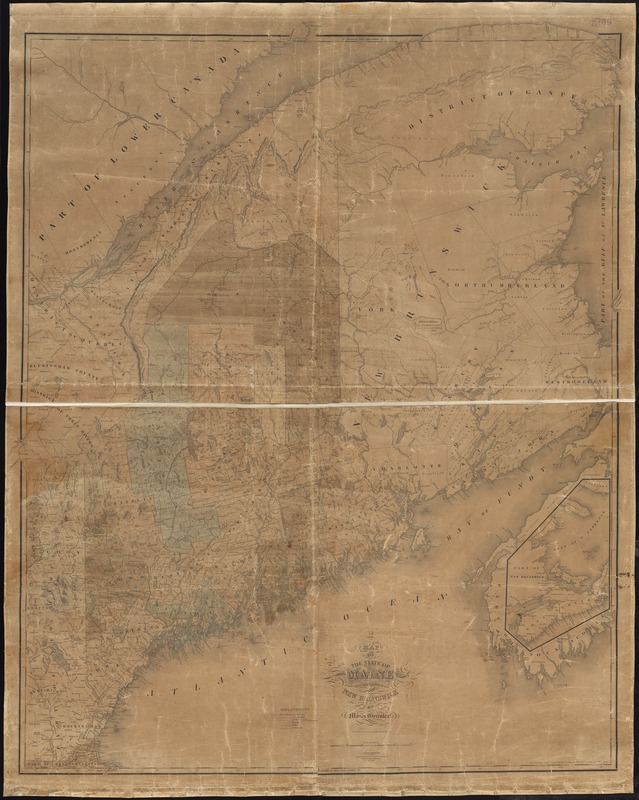
Map of the state of Maine with the province of New Brunswick
Item Information
- Title:
- Map of the state of Maine with the province of New Brunswick
- Creator:
- Greenleaf, Moses, 1777-1834
- Name on Item:
-
by Moses Greenleaf ; engraved by J.H. Young & F. Dankworth.
- Date:
-
1844
- Format:
-
Maps/Atlases
- Location:
-
Boston Public Library
Norman B. Leventhal Map Center - Collection (local):
-
Norman B. Leventhal Map Center Collection
- Subjects:
-
Maine--Maps
New Brunswick--Maps
- Places:
-
Maine
CanadaProvince of New Brunswick (province)
- Extent:
- 1 map : hand col. ; 130 x 106 cm.
- Terms of Use:
-
No known copyright restrictions.
No known restrictions on use.
- Publisher:
-
S.l :
[s.n.]
- Edition:
- 3rd ed.
- Scale:
-
Scale [ca. 1:580,000]
- Language:
-
English
- Notes:
-
Entered according to act of Congress 29th day of February 1828 by Moses Greenleaf of the State of Maine.
"Carefully revised and corrected from the latest official authorities, Jan'y. 1844."
Relief shown by hachures.
Inset: [Nova Scotia and the Gulf of St. Lawrence].
- Identifier:
-
06_01_010456
- Call #:
-
G3730 1844 .G74
- Barcode:
-
39999065672667