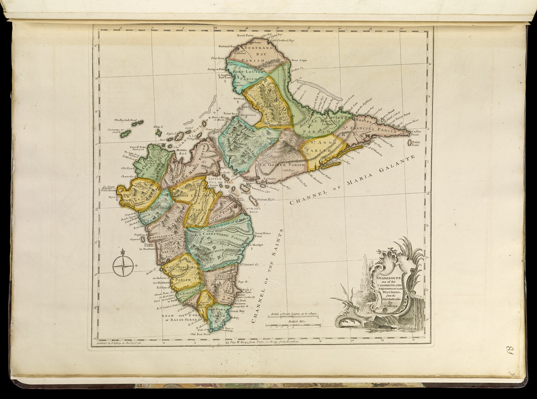
Guadaloupe, one of the Caribbee Islands subject to France in the West Indies
Item Information
- Title:
- Guadaloupe, one of the Caribbee Islands subject to France in the West Indies
- Creator:
- Jefferys, Thomas, -1771
- Publisher:
- Sayer, Robert, 1725-1794
- Name on Item:
-
from the best authorities by T. Jefferys
- Date:
-
[1768]
- Format:
-
Maps/Atlases
- Location:
-
Boston Public Library
Norman B. Leventhal Map Center - Collection (local):
-
Norman B. Leventhal Map Center Collection
- Subjects:
-
Guadeloupe--Maps--Early works to 1800
- Places:
-
Guadeloupe (territory)
- Extent:
- 1 map : hand col. ; 33 x 35 cm.
- Terms of Use:
-
No known copyright restrictions.
No known restrictions on use.
- Publisher:
-
[London] :
T. Jefferys at Charing Cross
- Scale:
-
Scale [ca. 1:270,000]
- Language:
-
English
- Notes:
-
Relief shown pictorially and by hachures.
Prime meridian: Ferro.
2nd state.
Appears in Jefferys' General topography of North America and the West Indies. London: Printed for Robert Sayer, ... and Thomas Jefferys, 1768.
- Notes (date):
-
This date is inferred.
- Notes (citation):
-
LC Maps of North America, 2016
Phillips, 1196
- Identifier:
-
4000137_0107r
- Call #:
-
G1105 .J4 1768
- Barcode:
-
30000003256620


