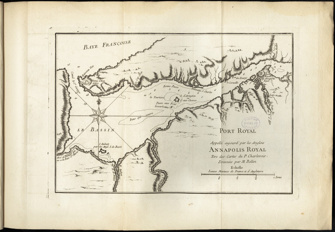
Port Royal appellé aujourd. par les Anglois Annapolis Royal
This map is also available in American Revolutionary Geographies Online (ARGO), a collections portal especially built for material relating to the American Revolutionary War Era. Visit ARGO to learn more about this item and explore the historical geography of North America in the late eighteenth century.
Item Information
- Title:
- Port Royal appellé aujourd. par les Anglois Annapolis Royal
- Creator:
- Bellin, Jacques Nicolas, 1703-1772
- Name on Item:
-
tire des cartes du P. Charlevoix ; dressées par M. Bellin.
- Date:
-
[1755]
- Format:
-
Maps/Atlases
- Location:
-
Boston Public Library
Norman B. Leventhal Map Center - Collection (local):
-
Norman B. Leventhal Map Center Collection
- Subjects:
-
Annapolis Royal (N.S.)--Maps--Early works to 1800
- Places:
-
CanadaAnnapolis Royal
- Extent:
- 1 map ; 18 x 26 cm.
- Terms of Use:
-
No known copyright restrictions.
No known restrictions on use.
- Publisher:
-
Paris :
Le Rouge
- Scale:
-
Scale [ca. 1:55,000]
- Language:
-
French
- Notes:
-
Relief shown by hachures. Depth shown by soundings.
Appears in the Le Rouge's Recueil des plans de l'Amerique Septentrionale.
- Notes (date):
-
This date is inferred.
- Identifier:
-
06_01_009936
- Call #:
-
G1105 .L47 1777
- Barcode:
-
30000003911818


