Map of the Catskill Mountains
Item Information
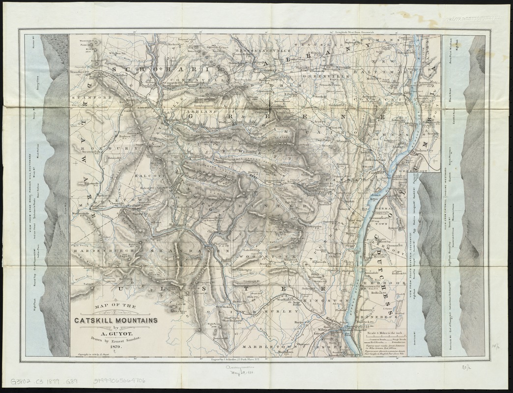
- Title:
- Map of the Catskill Mountains
- Title (alt.):
-
Elevations above tide, as measured by A. Guyot
- Creator:
- Guyot, A. (Arnold), 1807-1884
- Name on Item:
-
by A. Guyot ; drawn by Ernest Sandoz.
- Date:
-
1879
- Format:
-
Maps/Atlases
- Location:
-
Boston Public Library
Norman B. Leventhal Map Center - Collection (local):
-
Norman B. Leventhal Map Center Collection
- Subjects:
-
Catskill Mountains (N.Y.)--Maps
- Places:
-
Greene (county)Catskill Mountains
- Extent:
- 1 map : col. ; 36 x 41 cm.
- Terms of Use:
-
No known copyright restrictions.
No known restrictions on use.
- Publisher:
-
New York, N.Y :
Engravd. by J. Schedler
- Scale:
-
Scale [1:190,080]. 3 miles to the inch
- Language:
-
English
- Notes:
-
Relief shown by hachures and spot heights.
Includes 3 elevation profiles.
Accompanied by 3 p. listing elevations.
- Identifier:
-
06_01_009878
- Call #:
-
G3802.C3 1879 .G89
- Barcode:
-
39999065664706


