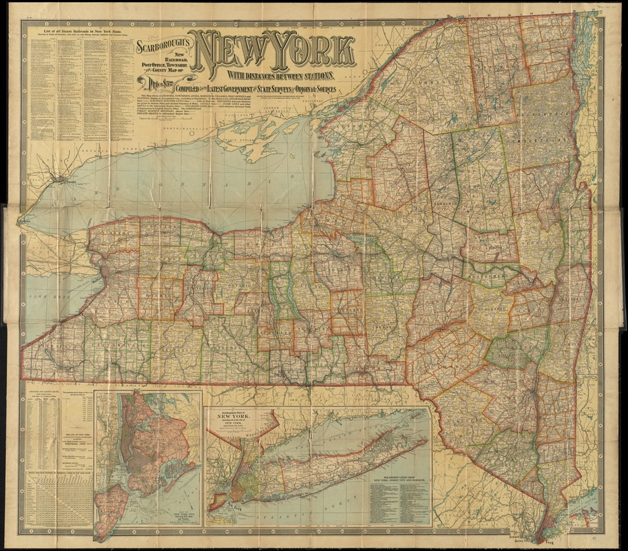
Scarborough's new railroad, post office, township and county map of New York with distances between stations
Item Information
- Title:
- Scarborough's new railroad, post office, township and county map of New York with distances between stations
- Creator:
- Scarborough Company
- Date:
-
[ca. 1903]
- Format:
-
Maps/Atlases
- Location:
-
Boston Public Library
Norman B. Leventhal Map Center - Collection (local):
-
Norman B. Leventhal Map Center Collection
- Subjects:
-
Railroads--New York (State)--Maps
New York (State)--Maps
- Places:
-
New York
- Extent:
- 1 map : col. ; 104 x 113 cm., folded to 26 x 11 cm.
- Terms of Use:
-
No known copyright restrictions.
No known restrictions on use.
- Publisher:
-
Boston :
The Company
- Scale:
-
Scale [1:475,200]. 7 1/2 miles to 1 in.
- Language:
-
English
- Notes:
-
Compiled from the latest government and state surveys and original sources.
Insets: Map of New York City (greater New York) and vicinity -- Southeastern part of New York : including all of the city of New York, and Long Island.
Includes list of steamship routes, county index, distance chart, and population figures.
- Identifier:
-
06_01_009872
- Call #:
-
G3800 1903 .S23
- Barcode:
-
39999065664649


