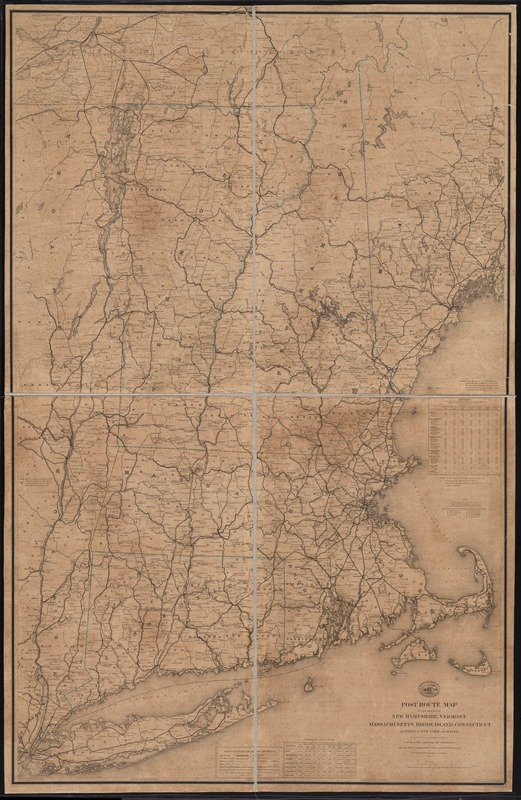
Post route map of the states of New Hampshire, Vermont, Massachusetts, Rhode Island, Connecticut, and parts of New York and Maine
Item Information
- Title:
- Post route map of the states of New Hampshire, Vermont, Massachusetts, Rhode Island, Connecticut, and parts of New York and Maine
- Creator:
- Nicholson, Walter L.
- Name on Item:
-
designed and constructed under the orders of Postmaster General Wm. Dennison and Second Ass't Postmaster Gen'l Geo. Wm. McLellan, by W.L. Nicholson topographer of P.O. Dept. ; drawn by P. Goepel ; eng. by D. McClelland.
- Date:
-
1866
- Format:
-
Maps/Atlases
- Location:
-
Boston Public Library
Norman B. Leventhal Map Center - Collection (local):
-
Norman B. Leventhal Map Center Collection
- Subjects:
-
Railroads--New England--Maps
Railway mail service--New England--Maps
Postal service--New England--Maps
New England--Maps
- Places:
-
New England (area)
- Extent:
- 1 map : col., dissected and mounted on linen ; 147 x 93 cm.
- Terms of Use:
-
No known copyright restrictions.
No known restrictions on use.
- Publisher:
-
[Washington, D.C.] :
U.S. Post Office Dept.
- Scale:
-
Scale [1:380,160]. 6 mi. = 1 in.
- Language:
-
English
- Notes:
-
Prime meridian: Washington, D.C.
Includes a table of distances and a table of general statistics for 1860 and 1866.
"The service on this diagram brought up to date of March 1st 1874."
- Identifier:
-
06_01_009752
- Call #:
-
G3721.P8 1866 .U55
- Barcode:
-
39999065663096


