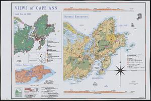
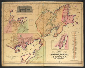
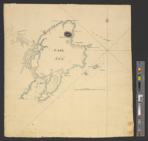
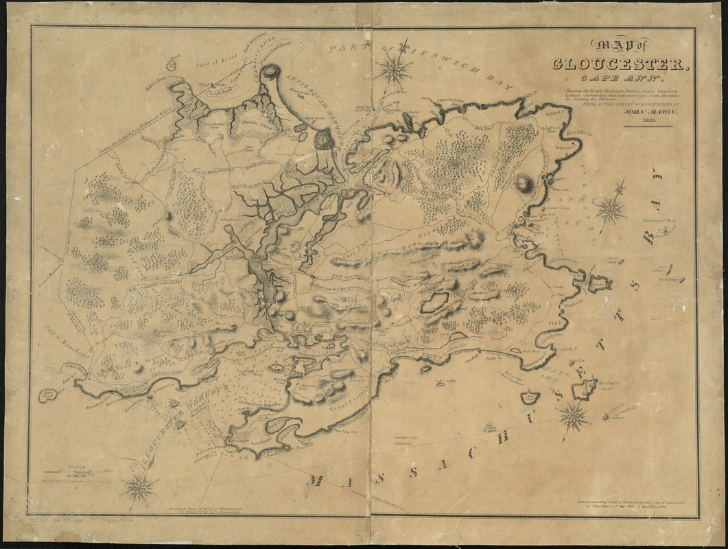
Map of Gloucester, Cape Ann : shewing the roads, harbours, rivers, coves, islands & ledges surrounding that important cape, with directions for entering the harbours
Item Information
- Title:
- Map of Gloucester, Cape Ann : shewing the roads, harbours, rivers, coves, islands & ledges surrounding that important cape, with directions for entering the harbours
- Creator:
- Mason, John.
- Name on Item:
-
from actual survey & observations by John Mason.
- Date:
-
1831
- Format:
-
Maps/Atlases
- Location:
-
Boston Public Library
Norman B. Leventhal Map Center - Collection (local):
-
Norman B. Leventhal Map Center Collection
- Series:
- Caldwell Collection of Massachusetts Town Plans
- Subjects:
-
Harbors--Massachusetts--Gloucester--Maps
Harbors--Massachusetts--Ann, Cape--Maps
Ann, Cape (Mass.)--Maps
Gloucester (Mass.)--Maps
Rockport (Mass. : Town)--Maps
- Places:
-
Essex (county)Ann, Cape
Essex (county)Rockport
Essex (county)Gloucester
- Extent:
- 1 map ; 51 x 70 cm.
- Terms of Use:
-
No known copyright restrictions.
No known restrictions on use.
- Publisher:
-
Boston :
Senefelder Lithographic Co.
- Scale:
-
Scale [ca. 1:25,500]
- Language:
-
English
- Notes:
-
Covers Gloucester and Rockport.
Oriented with north towards the upper right.
Relief shown by hachures. Shows depths by soundings.
- Identifier:
-
06_01_009640
- Call #:
-
G3764.G4 1831 .M37
- Barcode:
-
39999065663872