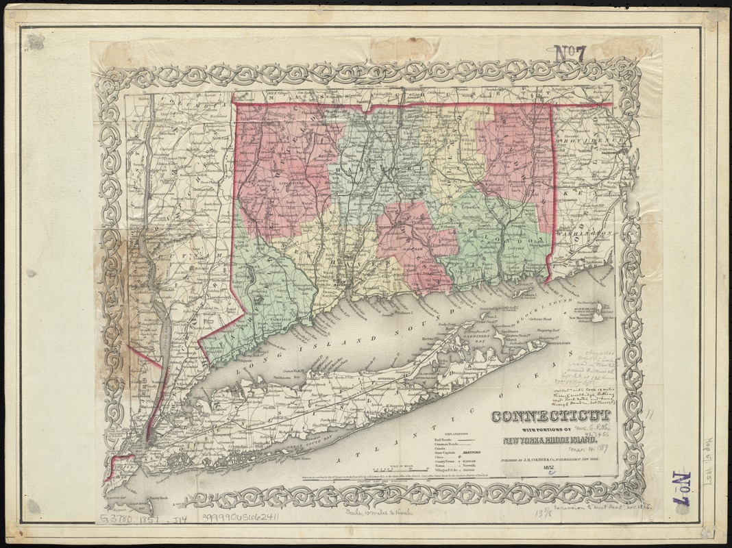
Connecticut with portions of New York & Rhode Island
Item Information
- Title:
- Connecticut with portions of New York & Rhode Island
- Creator:
- J.H. Colton & Co
- Date:
-
1857
- Format:
-
Maps/Atlases
- Location:
-
Boston Public Library
Norman B. Leventhal Map Center - Collection (local):
-
Norman B. Leventhal Map Center Collection
- Subjects:
-
Connecticut--Maps
New York (State)--Maps
Rhode Island--Maps
- Places:
-
New York
Rhode Island
Connecticut
- Extent:
- 1 map : col. ; 30 x 39 cm.
- Terms of Use:
-
No known copyright restrictions.
No known restrictions on use.
- Publisher:
-
New York :
J.H. Colton & Co.
- Scale:
-
Scale [ca. 1:633,600]
- Language:
-
English
- Notes:
-
Relief shown by hachures.
Prime meridian: Greenwich (top) and Washington D.C. (bottom).
Colored by county; state border in red; map within decorative border.
Includes ms. notes describing the writer's travel routes in the area.
- Identifier:
-
06_01_009473
- Call #:
-
G3780 1857 .J14
- Barcode:
-
39999065662411


