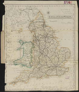
England
Item Information
- Title:
- England
- Creator:
- Lancaster, Elizabeth Lilian, 1852-1939
- Cartographer:
- Lancaster, Elizabeth Lilian, 1852-1939
- Writer of added text:
- Harvey, William, 1796-1873
- Publisher:
- Hodder and Stoughton
- Lithographer:
- Vincent Brooks, Day & Son
- Date:
-
1868–1869
- Format:
-
Maps/Atlases
- Location:
-
Boston Public Library
Norman B. Leventhal Map Center - Collection (local):
-
Norman B. Leventhal Map Center Collection
- Subjects:
-
England--Maps
Wales--Maps
Pictorial maps
- Places:
-
England
Wales
- Extent:
- 1 map : color ; 24 x 20 cm
- Terms of Use:
-
No known copyright restrictions.
No known restrictions on use.
- Publisher:
-
London :
Hodder and Stoughton
- Scale:
-
Scale approximately 1:2,700,000
- Language:
-
English
- Notes:
-
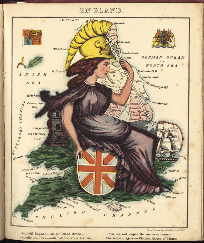
Pictorial map depicting England as Queen Victoria.
Rhyme about the country in lower margin.
Includes illustrations of the Royal standard and the Royal coat of arms.
In Lancaster and Harvey's Geographical fun. London : Hodder and Stoughton, [1868 or 1869].
- Identifier:
-
06_01_009429
- Call #:
-
G1046.A6 H378 1868
- Barcode:
-
30000005066437