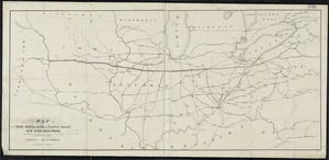
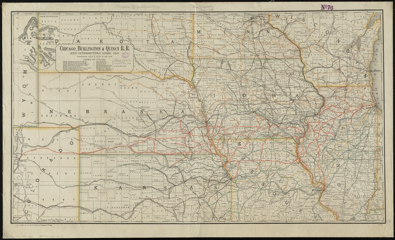
Chicago, Burlington & Quincy R.R. and intersecting lines
Item Information
- Title:
- Chicago, Burlington & Quincy R.R. and intersecting lines
- Description:
-
Map of the midwestern states showing relief by hachures, drainage, cities and towns, and the railroad network coded in color with the main line emphasized.
- Creator:
- Rand McNally and Company
- Date:
-
1883
- Format:
-
Maps/Atlases
- Location:
-
Boston Public Library
Norman B. Leventhal Map Center - Collection (local):
-
Norman B. Leventhal Map Center Collection
- Subjects:
-
Chicago, Burlington & Quincy Railroad Company--Maps
Railroads--Middle West--Maps
Middle West--Maps
- Places:
-
Midwest (area)
- Extent:
- 1 map : col. ; 55 x 98 cm.
- Terms of Use:
-
No known copyright restrictions.
No known restrictions on use.
- Publisher:
-
Chicago :
Rand McNally
- Scale:
-
Scale [ca. 1:1,393,920]. Approx. 22 miles to one in.
- Language:
-
English
- Notes:
-
Description derived from published bibliography.
Prime meridians: Greenwich and Washington.
Relief shown by hachures.
- Identifier:
-
06_01_009215
- Call #:
-
G4061.P3 1883 .R36
- Barcode:
-
39999065660639
- LCCN:
-
98688626