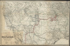
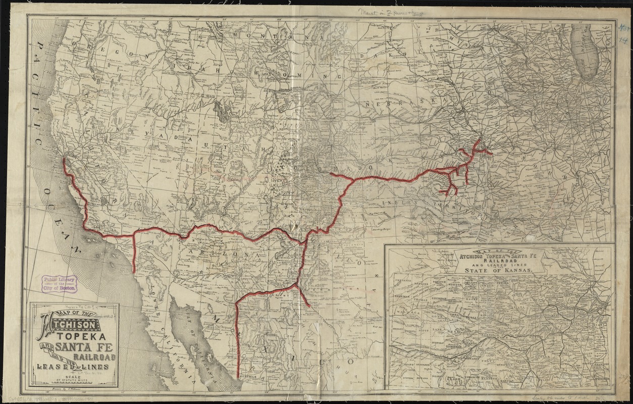
Map of the Atchison Topeka and Santa Fe Railroad and its leased lines
Item Information
- Title:
- Map of the Atchison Topeka and Santa Fe Railroad and its leased lines
- Creator:
- Williams, E.
- Name on Item:
-
drawn by E. Williams.
- Date:
-
[1888]
- Format:
-
Maps/Atlases
- Location:
-
Boston Public Library
Norman B. Leventhal Map Center - Collection (local):
-
Norman B. Leventhal Map Center Collection
- Subjects:
-
Atchison, Topeka, and Santa Fe Railroad Company
Railroads--West (U.S.)--Maps
West (U.S.)--Maps
- Places:
-
Western United States (area)
- Extent:
- 1 map : col. ; 59 x 93 cm.
- Terms of Use:
-
No known copyright restrictions.
No known restrictions on use.
- Publisher:
-
Boston :
L. F. Lawrence, Adams & Co.
- Scale:
-
Scale [ca. 1:3,500,000]
- Language:
-
English
- Notes:
-
Relief shown by hachures.
Inset: Map of the Atchison Topeka and Santa Fe Railroad and leased lines in the state of Kansas.
- Notes (date):
-
This date is inferred.
- Identifier:
-
06_01_009209
- Call #:
-
G4051.P3 1888 .W55x
- Barcode:
-
39999065660571