Map showing the Burlington, Cedar Rapids and Minnesota Railway and its connections
Item Information
- Title:
- Map showing the Burlington, Cedar Rapids and Minnesota Railway and its connections
- Description:
-
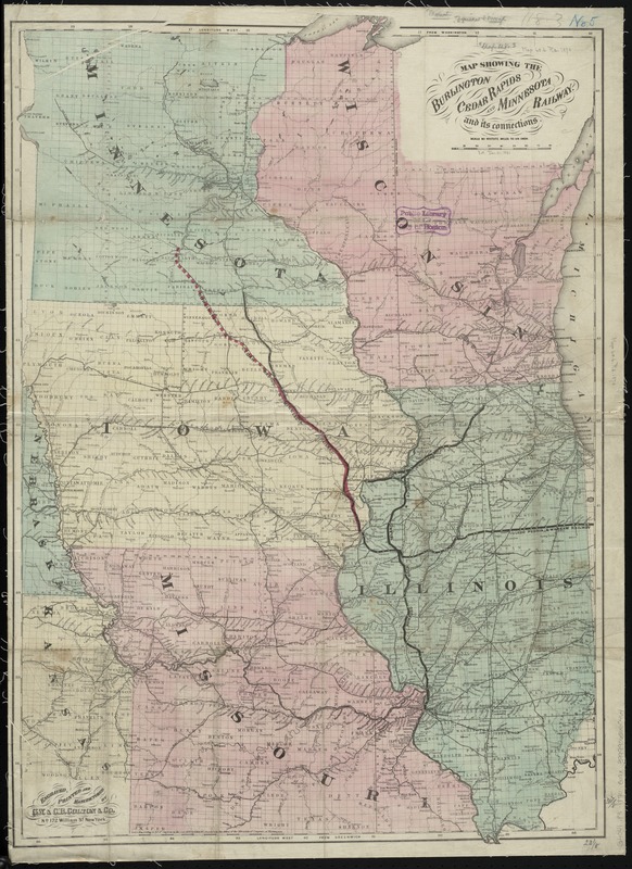
Map of the midwestern states showing drainage, cities and towns, administrative boundaries, and the railroad network with emphasis on the main line.
- Creator:
- G.W. & C.B. Colton & Co
- Name on Item:
-
engraved, printed and manufactured by G.W. & C.B. Colton & Co.
- Date:
-
1870
- Format:
-
Maps/Atlases
- Location:
-
Boston Public Library
Norman B. Leventhal Map Center - Collection (local):
-
Norman B. Leventhal Map Center Collection
- Subjects:
-
Burlington, Cedar Rapids, and Minnesota Railroad Company
Railroads--Middle West--Maps
Middle West--Maps
- Places:
-
Midwest (area)
- Extent:
- 1 map : col. ; 86 x 60 cm.
- Terms of Use:
-
No known copyright restrictions.
No known restrictions on use.
- Publisher:
-
New York :
G.W. & C.B. Colton & Co.
- Scale:
-
Scale [1:1,900,800]. 30 miles to an in.
- Language:
-
English
- Identifier:
-
06_01_009236
- Call #:
-
G4041.P3 1870 .G19x
- Barcode:
-
39999065660464


