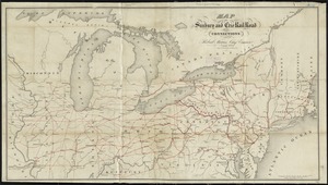
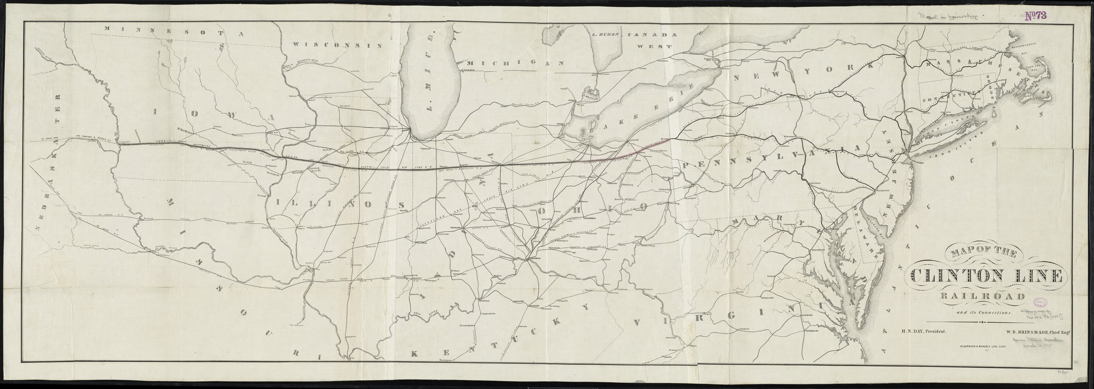
Map of the Clinton Line Railroad and its connections
Item Information
- Title:
- Map of the Clinton Line Railroad and its connections
- Date:
-
[1850–1859]
- Format:
-
Maps/Atlases
- Location:
-
Boston Public Library
Norman B. Leventhal Map Center - Collection (local):
-
Norman B. Leventhal Map Center Collection
- Subjects:
-
Clinton Line Railroad Company
Railroads--Northeastern States--Maps
Northeastern States--Maps
Middle West--Maps
- Places:
-
Midwest (area)
Northeastern United States (area)
- Extent:
- 1 map on 3 sheets : assembled ; 51 x 157 cm.
- Terms of Use:
-
No known copyright restrictions.
No known restrictions on use.
- Publisher:
-
Cincinnati :
Klauprech & Menzel
- Scale:
-
Scale [ca. 1:1,500,000]
- Language:
-
English
- Notes:
-
Shows northeastern United States from the Atlantic Ocean west to Nebraska Territory and from Massachusetts south to Virginia.
"H. N. Day, president ; W. B. Brinsmade, chief engr."
- Notes (date):
-
This date is inferred.
- Identifier:
-
06_01_009190
- Call #:
-
G3711.P3 1850 .M371x
- Barcode:
-
39999065660811