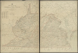
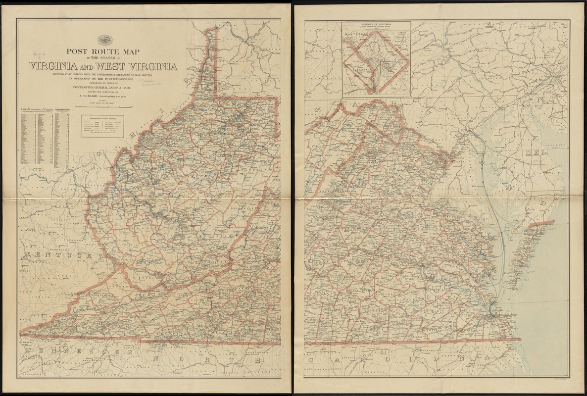
Post route map of the states of Virginia and West Virginia showing post offices with the intermediate distances on mail routes in operation on the 1st of December, 1897
Item Information
- Title:
- Post route map of the states of Virginia and West Virginia showing post offices with the intermediate distances on mail routes in operation on the 1st of December, 1897
- Creator:
- United States. Post Office Dept
- Name on Item:
-
published by order of Postmaster General James A. Gary under the direction of A. von Haake, topographer P.O. Dept.
- Date:
-
1897
- Format:
-
Maps/Atlases
- Location:
-
Boston Public Library
Norman B. Leventhal Map Center - Collection (local):
-
Norman B. Leventhal Map Center Collection
- Subjects:
-
Counties--Virginia--Maps
Counties--West Virginia--Maps
Postal service--Virginia--Maps
Postal service--West Virginia--Maps
Railroads--Virginia--Maps
Railroads--West Virginia--Maps
Virginia--Maps
West Virginia--Maps
- Places:
-
Virginia
West Virginia
- Extent:
- 1 map on 2 sheets : col. ; 102 x 151 cm., on sheets 112 x 84 cm.
- Terms of Use:
-
No known copyright restrictions.
No known restrictions on use.
- Publisher:
-
[Washington, D.C.] :
The Dept.
- Scale:
-
Scale [1:506,880]. 8 miles to the in.
- Language:
-
English
- Notes:
-
Also shows railroads and counties.
Inset: District of Columbia with portions of adjacent states.
Includes list of counties showing relative position.
- Identifier:
-
06_01_009079
- Call #:
-
G3881.P8 1897 .U55x
- Barcode:
-
39999065659649