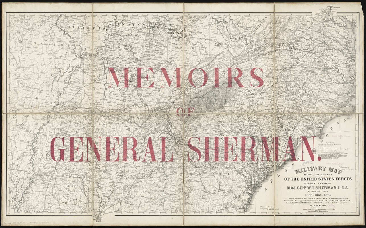
Military map showing the marches of the United States forces under command of Maj. Genl. W.T. Sherman, U.S.A. during the years 1863, 1864, 1865
Item Information
- Title:
- Military map showing the marches of the United States forces under command of Maj. Genl. W.T. Sherman, U.S.A. during the years 1863, 1864, 1865
- Overprint title :
- Memoirs of General Sherman
- Creator:
- Kossak, William.
- Name on Item:
-
compiled by order of Maj. Genl. W.T. Sherman ... under the direction of Bvt. Maj. W.L.B. Jenney ; drawn by Capt. William Kossak and John B. Muller draughtsman.
- Date:
-
1865
- Format:
-
Maps/Atlases
- Location:
-
Boston Public Library
Norman B. Leventhal Map Center - Collection (local):
-
Norman B. Leventhal Map Center Collection
- Subjects:
-
Confederate States of America--History--Maps
United States--History--Civil War, 1861-1865--Maps
- Places:
-
Confederate States of America (area)
- Extent:
- 1 map : col. ; 74 x 117 cm.
- Terms of Use:
-
No known copyright restrictions.
No known restrictions on use.
- Publisher:
-
St. Louis :
Military Division of the Mississippi
- Scale:
-
Scale 1:1,267,200. 20 miles = 1 in.
- Language:
-
English
- Notes:
-
Relief shown by hachures.
Overprint (in pink lettering): Memoirs of General Sherman.
Includes list of "authorities" and demarcations for infantry, calvery, and fortification of U.S. and Rebel forces.
For similar printing cf., LC Civil War maps, 75.
From: Memoirs of General William T. Sherman / by Himself.
- Identifier:
-
06_01_008895
- Call #:
-
G3866.S5 1865 .K67
- Barcode:
-
39999065657023


