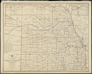
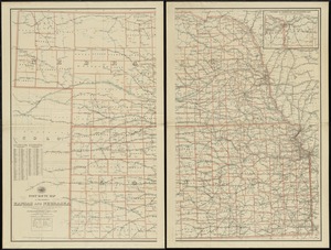
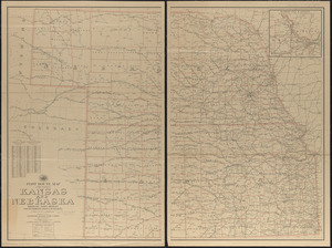
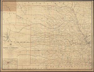
State of Kansas
Item Information
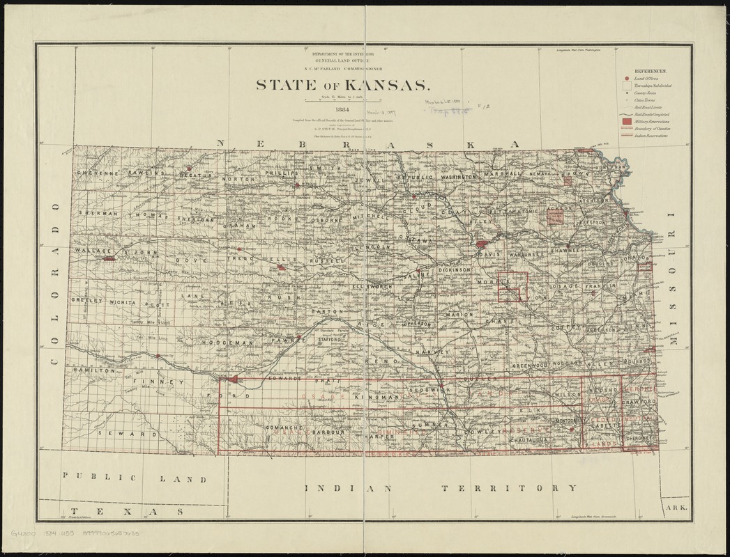
- Title:
- State of Kansas
- Description:
-
Township map showing drainage, cities and towns, Indian and military reservations, railroads, and the limit of grants.
- Creator:
- United States. General Land Office
- Name on Item:
-
compiled from the official records of the General Land Office and other sources under supervision of G.P. Strum, Principal Draughtsman G. L. O. ; drawn by A. Pohlers.
- Date:
-
1884
- Format:
-
Maps/Atlases
- Location:
-
Boston Public Library
Norman B. Leventhal Map Center - Collection (local):
-
Norman B. Leventhal Map Center Collection
- Subjects:
-
Railroads--Kansas--Maps
- Places:
-
Kansas
- Extent:
- 1 map : col. ; 56 x 76 cm.
- Terms of Use:
-
No known copyright restrictions.
No known restrictions on use.
- Publisher:
-
[Washington] :
General Land Office
- Scale:
-
Scale [1:950,400]. 15 miles to 1 inch
- Language:
-
English
- Notes:
-
Prime meridians: Washington and Greenwich.
Relief shown by hachures.
Description derived from published bibliography.
- Identifier:
-
06_01_008815
- Call #:
-
G4200 1884 .U55
- Barcode:
-
39999065657635
- LCCN:
-
98688483