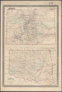
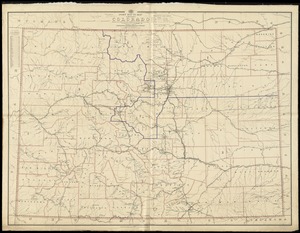
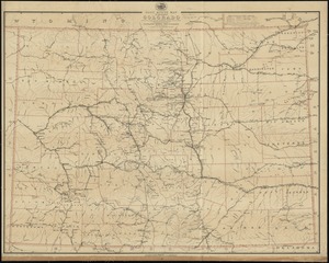
State of Colorado
Item Information
- Title:
- State of Colorado
- Creator:
- United States. General Land Office
- Name on Item:
-
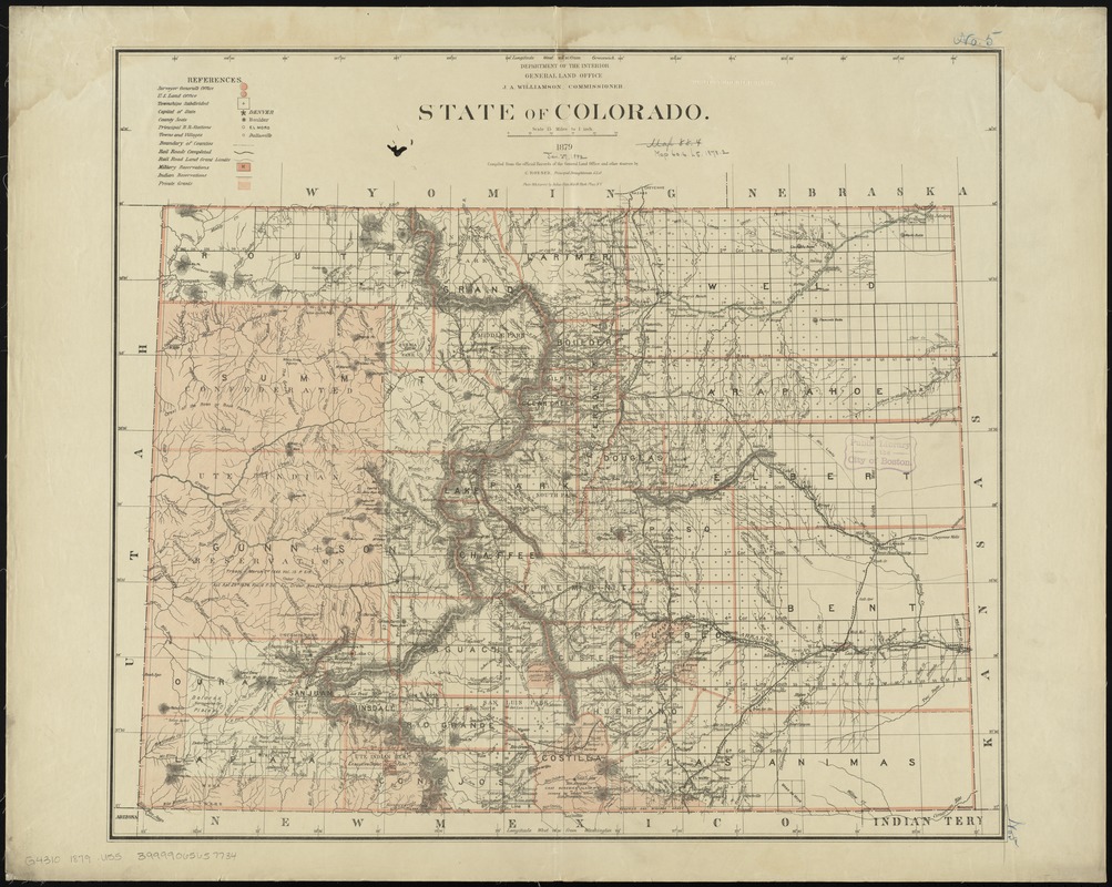
compiled from the official records of the General Land Office and other sources by C. Roeser, Principal Draughtsman, G.L.O.
- Date:
-
1879
- Format:
-
Maps/Atlases
- Location:
-
Boston Public Library
Norman B. Leventhal Map Center - Collection (local):
-
Norman B. Leventhal Map Center Collection
- Subjects:
-
Public lands--Colorado--Maps
Land grants--Colorado--Maps
Colorado--Maps
Colorado--Surveys
- Places:
-
Colorado
- Extent:
- 1 map : col. ; 61 x 70 cm.
- Terms of Use:
-
No known copyright restrictions.
No known restrictions on use.
- Publisher:
-
[Washington] :
General Land Office
- Scale:
-
Scale [1:950,400]. 15 miles to 1 in.
- Language:
-
English
- Notes:
-
Relief shown by hachures.
Shows drainage, county boundaries, railroads, railroad grants, private land grants, military & Indian reservations, townships, etc.
Prime meridans: Greenwich and Washington.
"J.S. Williamson, Commissioner."
- Identifier:
-
06_01_008825
- Call #:
-
G4310 1879 .U55
- Barcode:
-
39999065657734