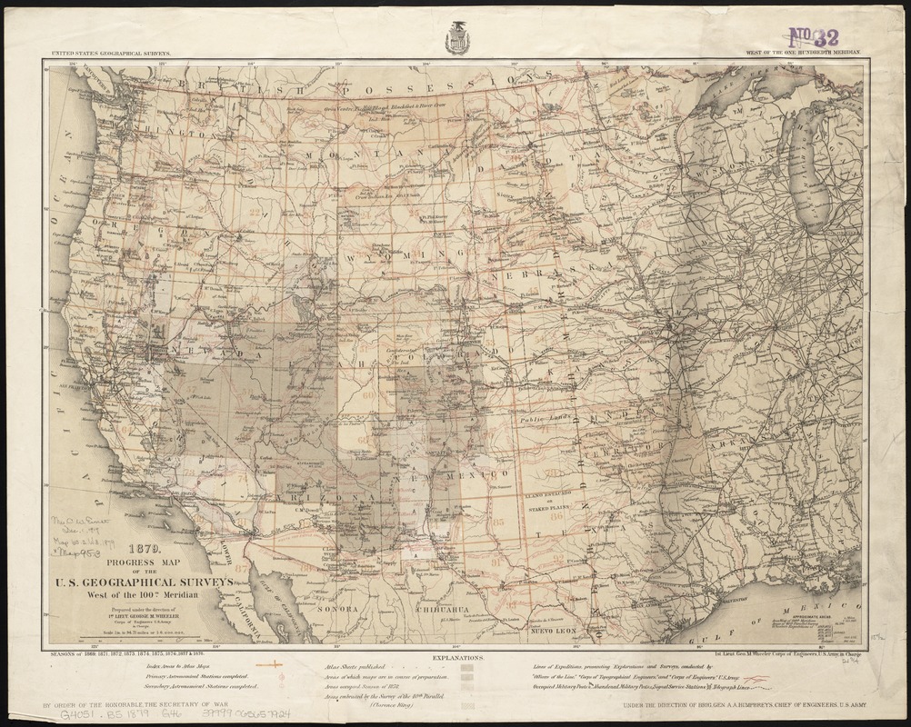
1879. Progress map of the U.S. Geographical Surveys west of the 100th Meridian : prepared under the direction of 1st Lieut. George M. Wheeler, Corps of Engineers U. S. Army in charge
Item Information
- Title:
- 1879. Progress map of the U.S. Geographical Surveys west of the 100th Meridian : prepared under the direction of 1st Lieut. George M. Wheeler, Corps of Engineers U. S. Army in charge
- Creator:
- Geographical Surveys West of the 100th Meridian (U.S.)
- Date:
-
[1879?]
- Format:
-
Maps/Atlases
- Location:
-
Boston Public Library
Norman B. Leventhal Map Center - Collection (local):
-
Norman B. Leventhal Map Center Collection
- Subjects:
-
West (U.S.)--Surveys
West (U.S.)--Discovery and exploration--Maps
- Places:
-
Western United States (area)
- Extent:
- 1 map : col. ; 40 x 56 cm.
- Terms of Use:
-
No known copyright restrictions.
No known restrictions on use.
- Publisher:
-
[Washington, D.C.] :
U.S. Army Corps of Engineers
- Scale:
-
Scale 1:6,000,000. 1 in. to 94.71 miles
- Language:
-
English
- Notes:
-
In lower margin: By order of the honorable, the Secretary of War ... under the direction of Brig. Gen. A. A. Humphreys, Chief of Engineers, U.S. Army.
"Seasons of 1869, 1871, 1872, 1873, 1874, 1875, 1876, 1877 & 1878."
- Identifier:
-
06_01_008794
- Call #:
-
G4051.B5 1879 .G46
- Barcode:
-
39999065657924


