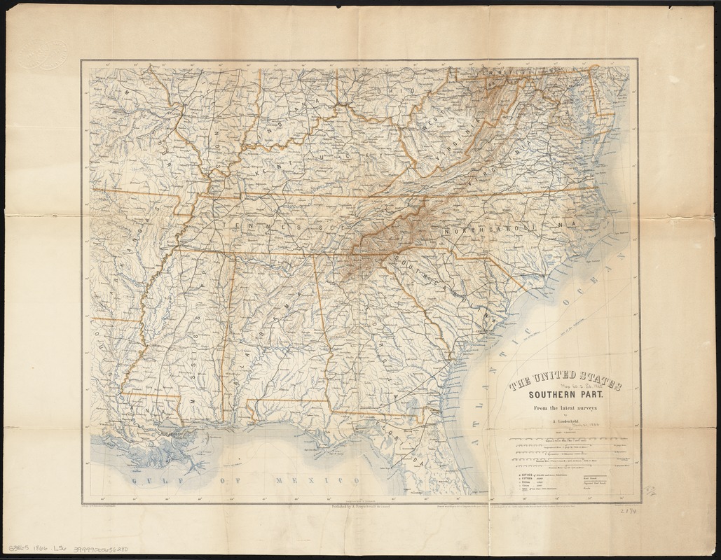
The United States southern part : from the latest surveys
Item Information
- Title:
- The United States southern part : from the latest surveys
- Title (alt.):
-
Map of the United States southern part from the latest surveys
- Creator:
- Lindenkohl, A.
- Name on Item:
-
by A. Lindenkohl ; lithogr. by H. Kölzsch & H. Lindenkohl.
- Date:
-
[1866]
- Format:
-
Maps/Atlases
- Location:
-
Boston Public Library
Norman B. Leventhal Map Center - Collection (local):
-
Norman B. Leventhal Map Center Collection
- Subjects:
-
Southern States--Maps
- Places:
-
Southern United States (area)
- Extent:
- 1 map : col. ; 44 x 55 cm., folded to 22 x 13 cm.
- Terms of Use:
-
No known copyright restrictions.
No known restrictions on use.
- Publisher:
-
Cassel :
A. Freyschmidt
- Scale:
-
Scale 1:3,000,000
- Language:
-
English
- Notes:
-
Relief shown by hachures.
Includes (pasted on verso): Distances between the principal cities of the Southern States of America ... 1865 -- Population of principal cities (census of 1860) -- [table of statistics, including yields of agricultural products].
Cover title (from panel on verso): Map of the United States, southern part : from the latest surveys / by A. Lindenkohl. New-York : D. Van Nostrand.
- Notes (date):
-
This date is inferred.
- Identifier:
-
06_01_008766
- Call #:
-
G3865 1866 .L56
- Barcode:
-
39999065656280


