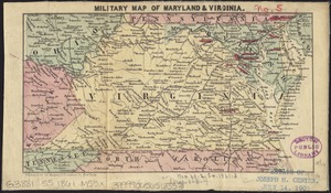
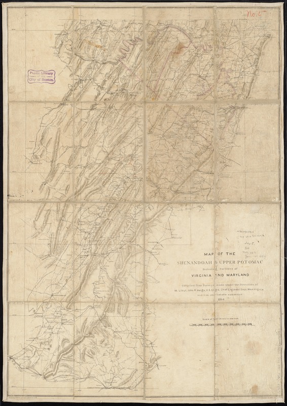
Map of the Shenandoah & Upper Potomac including portions of Virginia and Maryland
Item Information
- Title:
- Map of the Shenandoah & Upper Potomac including portions of Virginia and Maryland
- Creator:
- Meigs, John Rodgers, 1842-1864
- Name on Item:
-
compiled from surveys made under the direction of 1st. Lieut. John R. Meigs, U.S. Engrs., Chief Engineer, Dept. West Virginia and from other reliable authorities ; drawn by P. Witzel, Asst. Engr.
- Date:
-
1864
- Format:
-
Maps/Atlases
- Location:
-
Boston Public Library
Norman B. Leventhal Map Center - Collection (local):
-
Norman B. Leventhal Map Center Collection
- Subjects:
-
Shenandoah River Valley (Va. and W. Va.)--History--Civil War, 1861-1865--Maps
Virginia--History--Civil War, 1861-1865--Maps
Maryland--History--Civil War, 1861-1865--Maps
- Places:
-
Shenandoah River
- Extent:
- 1 map ; 80 x 56 cm.
- Terms of Use:
-
No known copyright restrictions.
No known restrictions on use.
- Publisher:
-
Cumberland, Md :
Office of Chief Engineer, Dept. W. Va.
- Scale:
-
Scale [1:253,440]. Four miles to one inch
- Language:
-
English
- Notes:
-
Relief shown by shading.
General map extending from Charlottesville north to the Maryland-Pennsylvania boundary and showing roads, railroads, towns, rivers, houses and names of residents, and relief by shading.
- Identifier:
-
06_01_008743
- Call #:
-
G3882.S52 1864 .M45
- Barcode:
-
39999065656520
- LCCN:
-
99448348