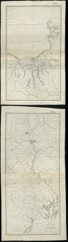
Map of the country embracing the several routes examined with a view to a national road from Washington to Lake Ontario
Item Information
- Title:
- Map of the country embracing the several routes examined with a view to a national road from Washington to Lake Ontario
- Creator:
- Harrison, F.
- Name on Item:
-
compiled by F. Harrison Jr. ; drawn by A. J. Stansbury.
- Date:
-
[1830–1839]
- Format:
-
Maps/Atlases
- Location:
-
Boston Public Library
Norman B. Leventhal Map Center - Collection (local):
-
Norman B. Leventhal Map Center Collection
- Subjects:
-
Hydrology--Middle Atlantic States--Maps
Roads--Middle Atlantic States--Maps
Middle Atlantic States--Maps
Maryland--Maps
New York (State)--Maps
Pennsylvania--Maps
- Places:
-
Pennsylvania
Maryland
Middle Atlantic (area)
New York
- Extent:
- 1 map on 2 sheets ; 162 x 40 cm., on sheets 71 x 40 cm. and 92 x 40 cm.
- Terms of Use:
-
No known copyright restrictions.
No known restrictions on use.
- Publisher:
-
Georgetown D.C :
W. Harrison
- Scale:
-
Scale [ca. 1:332,000]
- Language:
-
English
- Notes:
-
Prime meridian: Washington, D.C.
Relief shown by hachures.
- Notes (date):
-
This date is inferred.
- Identifier:
-
06_01_008722
- Call #:
-
G3791.P2 1830 .H37x
- Barcode:
-
39999065656678


