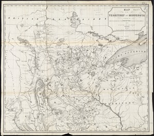
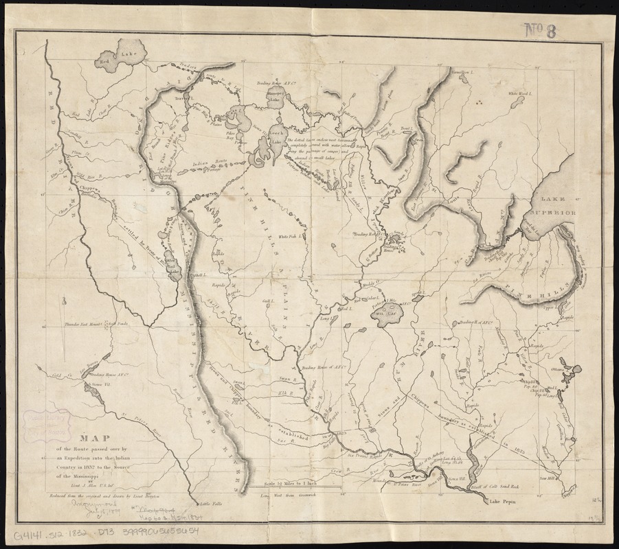
Map of the route passed over by an expedition into the Indian country in 1832 to the source of the Mississippi
Item Information
- Title:
- Map of the route passed over by an expedition into the Indian country in 1832 to the source of the Mississippi
- Creator:
- Drayton, Lieut
- Name on Item:
-
by Lieut. J. Allen ; reduced from the original and drawn by Lieut. Drayton.
- Date:
-
[1832?]
- Format:
-
Maps/Atlases
- Location:
-
Boston Public Library
Norman B. Leventhal Map Center - Collection (local):
-
Norman B. Leventhal Map Center Collection
- Subjects:
-
Indians of North America--Minnesota--Maps
Minnesota--Discovery and exploration--Maps
Itasca, Lake (Minn.)--Discovery and exploration--Maps
Mississippi River--Discovery and exploration--Maps
1832
- Places:
-
Mississippi River
Clearwater (county)Itasca, Lake
- Extent:
- 1 map ; 40 x 48 cm.
- Terms of Use:
-
No known copyright restrictions.
No known restrictions on use.
- Publisher:
-
Washington, D.C.? :
U.S. War Dept.
- Scale:
-
Scale [ca. 1:1,050,000]
- Language:
-
English
- Notes:
-
Relief shown by hachures.
Bar scale incorrect.
- Identifier:
-
06_01_008643
- Call #:
-
G4141.S12 1832 .D73
- Barcode:
-
39999065655654
- LCCN:
-
2007626879