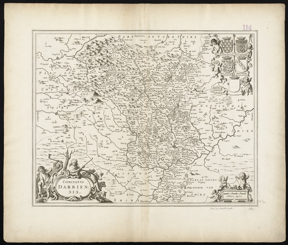
Comitatus Darbiensis
Item Information
- Title:
- Comitatus Darbiensis
- Title (alt.):
-
Collection of old maps
- Creator:
- Jansson, Jan, 1588-1664
- Date:
-
[1646–1680]
- Format:
-
Maps/Atlases
- Location:
-
Boston Public Library
Norman B. Leventhal Map Center - Collection (local):
-
Norman B. Leventhal Map Center Collection
- Subjects:
-
Derbyshire (England)--Maps--Early works to 1800
- Places:
-
EnglandDerbyshire (county)
- Extent:
- 1 map ; 37 x 48 cm.
- Terms of Use:
-
No known copyright restrictions.
No known restrictions on use.
- Publisher:
-
Amsterdam :
Jan Jansson
- Scale:
-
Scale [ca. 1:172,000]
- Language:
-
Latin
- Notes:
-
Map of the county of Derbyshire in central England.
Relief shown pictorially.
Verso is blank.
Title cartouche surrounded by a man digging, a man wood cutting and a shepherd woman with cattle.
Includes coats of arms.
Cataloging, conservation, and digitization made possible in part by The National Endowment for the Humanities: Exploring the human endeavor.
Part of composite portfolio atlas with title "Collection of old maps."
- Notes (date):
-
This date is inferred.
- Identifier:
-
06_01_010085
- Call #:
-
G1015 .C651 1630
- Barcode:
-
30000003119265


