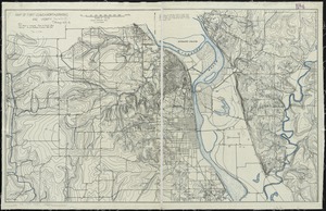
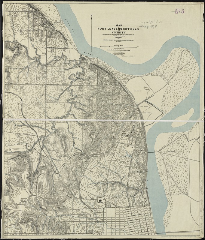
Map of Fort Leavenworth, Kas. and vicinity
Item Information
- Title:
- Map of Fort Leavenworth, Kas. and vicinity
- Creator:
- U.S. Army Command and General Staff College
- Name on Item:
-
compiled from surveys made by the staff classes of 1904-05, and 1905-06 ; under the direction of the commandant of the Infantry and Cavalry School, Signal School and Staff College.
- Date:
-
1907
- Format:
-
Maps/Atlases
- Location:
-
Boston Public Library
Norman B. Leventhal Map Center - Collection (local):
-
Norman B. Leventhal Map Center Collection
- Subjects:
-
Fort Leavenworth (Kan.)--Maps
- Places:
-
Leavenworth (county)Fort Leavenworth (defense installation)
- Extent:
- 1 map : col. ; 63 x 55 cm.
- Terms of Use:
-
No known copyright restrictions.
No known restrictions on use.
- Publisher:
-
Fort Leavenworth, Kan :
The Schools
- Scale:
-
Scale [ca. 1:15,690]
- Language:
-
English
- Notes:
-
Relief shown by contours and spot heights.
Contour interval 10 feet.
- Identifier:
-
06_01_008594
- Call #:
-
G4204.F4 1907 .U83
- Barcode:
-
39999065655035