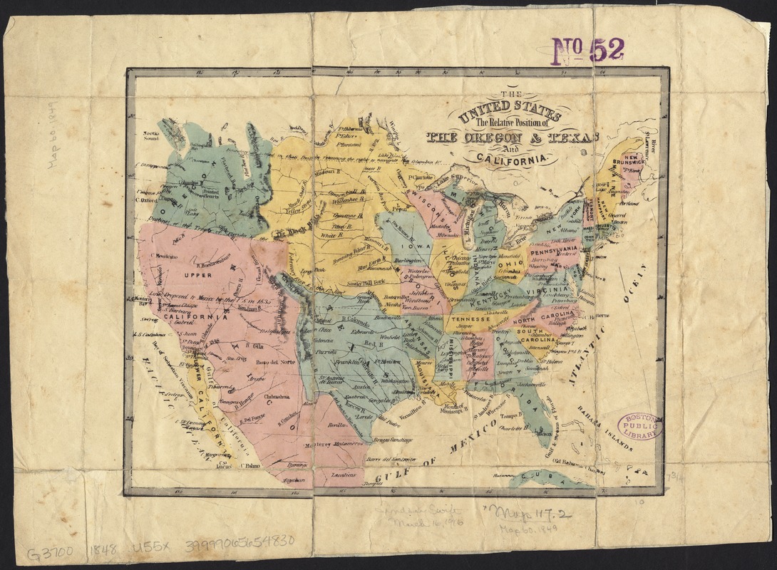
The United States : the relative position of the Oregon & Texas and California
Item Information
- Title:
- The United States : the relative position of the Oregon & Texas and California
- Date:
-
[1848–1849]
- Format:
-
Maps/Atlases
- Location:
-
Boston Public Library
Norman B. Leventhal Map Center - Collection (local):
-
Norman B. Leventhal Map Center Collection
- Subjects:
-
United States--Boundaries--Canada--Maps
United States--Boundaries--Mexico--Maps
- Places:
-
- Extent:
- 1 map : hand col. ; 20 x 26 cm.
- Terms of Use:
-
No known copyright restrictions.
No known restrictions on use.
- Publisher:
-
S.l :
s.n.
- Scale:
-
Scale [ca. 1:19,000,000]
- Language:
-
English
- Notes:
-
Relief shown by hachures.
Shows "line proposed to Mexico by the U.S. in 1835" and "boundary U.S. settled in 1846 British retaining the right to navigate Columbia River."
- Notes (date):
-
This date is inferred.
- Identifier:
-
06_01_008446
- Call #:
-
G3700 1848 .U55x
- Barcode:
-
39999065654830