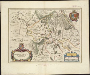
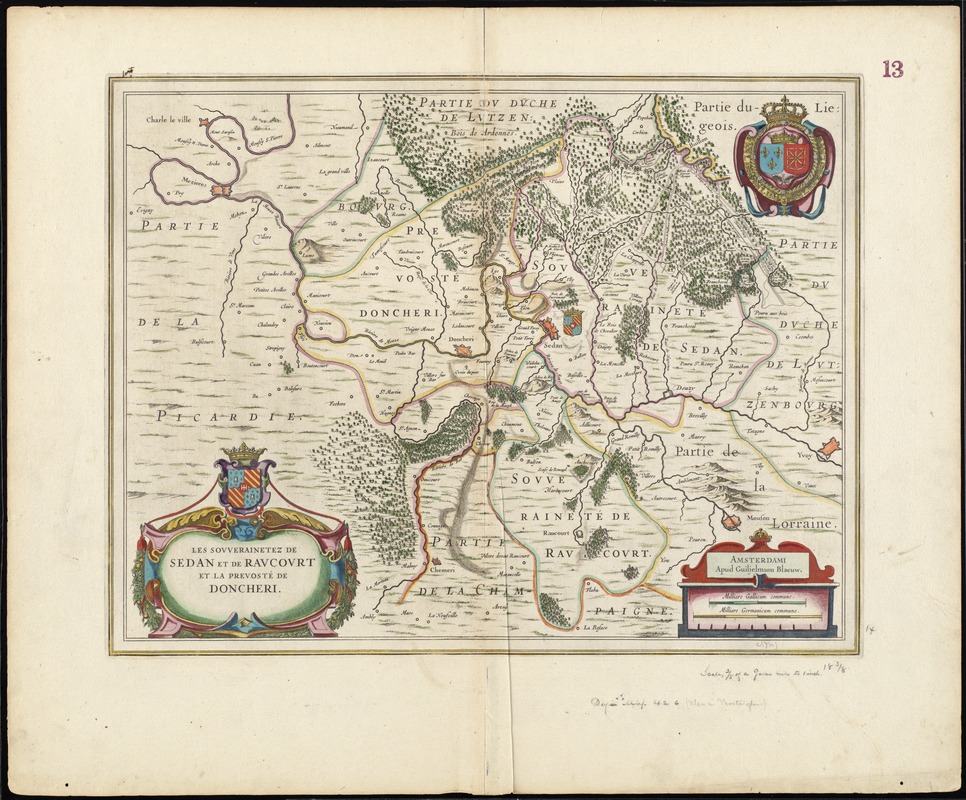
Les Souverainetez de Sedan et Raucourt et la Prevosté de Doncheri
Item Information
- Title:
- Les Souverainetez de Sedan et Raucourt et la Prevosté de Doncheri
- Title (alt.):
-
Sovverainetez de Sedan et Ravcovrt et la Prevosté de Doncheri
Collection of old maps
- Creator:
- Blaeu, Willem Janszoon, 1571-1638
- Date:
-
[1633]
- Format:
-
Maps/Atlases
- Location:
-
Boston Public Library
Norman B. Leventhal Map Center - Collection (local):
-
Norman B. Leventhal Map Center Collection
- Subjects:
-
Lorraine (France)--Maps--Early works to 1800
Champagne-Ardenne (France)--Maps--Early works to 1800
- Places:
-
FranceLorraine (former administrative division)
- Extent:
- 1 map : col. ; 36 x 48 cm.
- Terms of Use:
-
No known copyright restrictions.
No known restrictions on use.
- Publisher:
-
Amsterdami :
Apud Guiljelmum Blaeuw
- Scale:
-
Scale [ca. 1:90,000]
- Language:
-
French
- Notes:
-
Map of the Sedan region in northern France.
Relief shown pictorially.
Verso is blank.
Cataloging, conservation, and digitization made possible in part by The National Endowment for the Humanities: Exploring the human endeavor.
Part of composite portfolio atlas with title "Collection of old maps."
- Notes (date):
-
This date is inferred.
- Identifier:
-
06_01_008712
- Call #:
-
G1015 .C65 1630
- Barcode:
-
30000003830495