Illustrated Times map of North America
Item Information
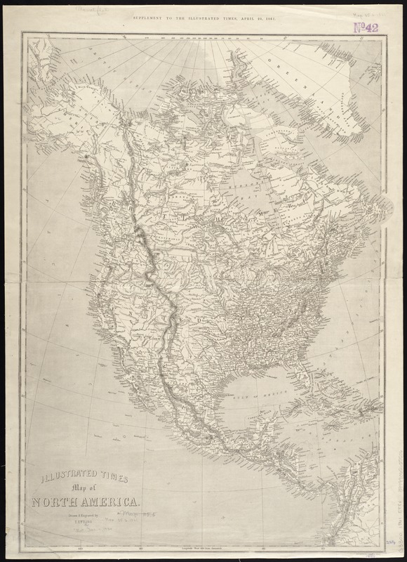
- Title:
- Illustrated Times map of North America
- Creator:
- Ettling, Theodor, b. 1823
- Name on Item:
-
drawn & engraved by T. Ettling.
- Date:
-
[1861]
- Format:
-
Maps/Atlases
- Location:
-
Boston Public Library
Norman B. Leventhal Map Center - Collection (local):
-
Norman B. Leventhal Map Center Collection
- Subjects:
-
North America--Maps
- Places:
-
North America (area)
- Extent:
- 1 map ; 67 x 50 cm.
- Terms of Use:
-
No known copyright restrictions.
No known restrictions on use.
- Publisher:
-
London :
Illustrated Times
- Scale:
-
Scale [ca. 13,500,000]
- Language:
-
English
- Notes:
-
Relief shown by hachures.
"Supplement to the Illustrated Times, April 20, 1861."
- Notes (date):
-
This date is inferred.
- Identifier:
-
06_01_008598
- Call #:
-
G3300 1861 .E88x
- Barcode:
-
39999065655506


