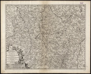
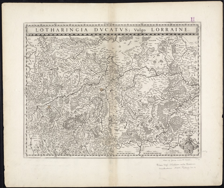
Lotharingia Ducatus, vulgo Lorraine
Item Information
- Title:
- Lotharingia Ducatus, vulgo Lorraine
- Title (alt.):
-
Collection of old maps
- Creator:
- Blaeu, Willem Janszoon, 1571-1638
- Date:
-
[1630?]
- Format:
-
Maps/Atlases
- Location:
-
Boston Public Library
Norman B. Leventhal Map Center - Collection (local):
-
Norman B. Leventhal Map Center Collection
- Subjects:
-
Lorraine (France)--Maps--Early works to 1800
- Places:
-
FranceLorraine (former administrative division)
- Extent:
- 1 map ; 35 x 49 cm.
- Terms of Use:
-
No known copyright restrictions.
No known restrictions on use.
- Publisher:
-
Amsterdami :
Apud Guiljelmum Blaeuw
- Scale:
-
Scale [ca. 1:440,000]
- Language:
-
Latin
- Notes:
-
Map of the region of Lorraine in northern France.
Relief shown pictorially.
Caption title.
Oriented with north to the right.
Includes coat of arms.
Cataloging, conservation, and digitization made possible in part by The National Endowment for the Humanities: Exploring the human endeavor.
Part of composite portfolio atlas with title "Collection of old maps."
- Identifier:
-
06_01_009599
- Call #:
-
G1015 .C651 1630
- Barcode:
-
30000003873360