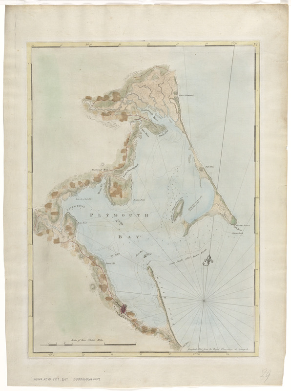
Chart of Plymouth Bay
This map is also available in American Revolutionary Geographies Online (ARGO), a collections portal especially built for material relating to the American Revolutionary War Era. Visit ARGO to learn more about this item and explore the historical geography of North America in the late eighteenth century.
Item Information
- Title:
- Chart of Plymouth Bay
- Creator:
- Des Barres, Joseph F. W. (Joseph Frederick Wallet), 1722-1824
- Date:
-
[1770–1779]
- Format:
-
Maps/Atlases
- Location:
-
Boston Public Library
Norman B. Leventhal Map Center - Collection (local):
-
Norman B. Leventhal Map Center Collection
- Subjects:
-
Nautical charts--Massachusetts--Plymouth Bay--Early works to 1800
Plymouth Bay (Mass.)--Maps--Early works to 1800
- Places:
-
MassachusettsPlymouth (county)Plymouth Bay
- Extent:
- 1 chart : col. ; 67 x 49 cm.
- Terms of Use:
-
No known copyright restrictions.
No known restrictions on use.
- Publisher:
-
London :
J.F.W. Des Barres
- Edition:
- 2nd state.
- Scale:
-
Scale [ca. 1:24,000]
- Language:
-
English
- Notes:
-
Relief shown by hachures. Depths shown by soundings.
Appears in the author's Atlantic Neptune.
Variant of entry 960 in LC Maps of North America, 1750-1789.
"12" engraved in small oval in upper right corner of the border; lacks imprint.
- Notes (date):
-
This date is inferred.
- Identifier:
-
06_01_008396
- Call #:
-
G3762.P6P5 1777 .D47
- Barcode:
-
39999065646349


