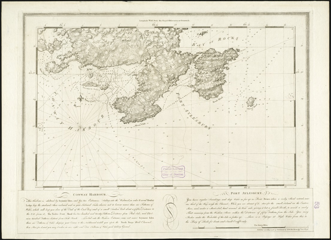
Conway Harbour : Port Aylesbury
This map is also available in American Revolutionary Geographies Online (ARGO), a collections portal especially built for material relating to the American Revolutionary War Era. Visit ARGO to learn more about this item and explore the historical geography of North America in the late eighteenth century.
Item Information
- Title:
- Conway Harbour : Port Aylesbury
- Creator:
- Des Barres, Joseph F. W. (Joseph Frederick Wallet), 1722-1824
- Date:
-
1776
- Format:
-
Maps/Atlases
- Location:
-
Boston Public Library
Norman B. Leventhal Map Center - Collection (local):
-
Norman B. Leventhal Map Center Collection
- Subjects:
-
Nautical charts--Nova Scotia--Early works to 1800
Coasts--Nova Scotia--Maps--Early works to 1800
Nova Scotia--Maps--Early works to 1800
- Places:
-
CanadaNova Scotia (province)
- Extent:
- 1 chart ; 38 x 62 cm, on sheet 57 x 78 cm.
- Terms of Use:
-
No known copyright restrictions.
No known restrictions on use.
- Publisher:
-
[London] :
Published according to Act of Parliament by J.F.W. Des Barres
- Scale:
-
Scale [ca. 1:29,200]
- Language:
-
English
- Notes:
-
Chart of the area between West Arichat to Petit-de-Grat Island.
Depths shown by soundings.
Includes a description of the area.
Appears in the author's Atlantic Neptune. London : J.F.W. Des Barres, 1777-[1781].
- Identifier:
-
06_01_008296
- Call #:
-
G1106.P5 D47 1777
- Barcode:
-
30000003798467


