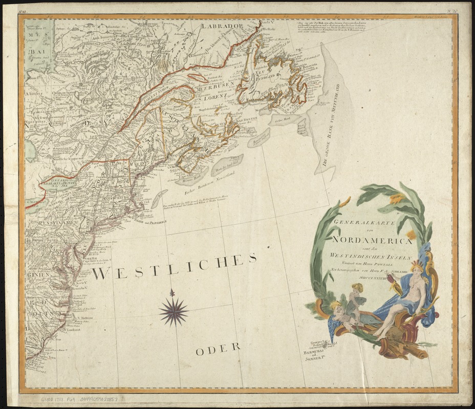
Generalkarte von Nord America samt den Westindischen inseln
This map is also available in American Revolutionary Geographies Online (ARGO), a collections portal especially built for material relating to the American Revolutionary War Era. Visit ARGO to learn more about this item and explore the historical geography of North America in the late eighteenth century.
Item Information
- Title:
- Generalkarte von Nord America samt den Westindischen inseln
- Inset title :
- Specialkarte von der Baffin und Hudsons Bai
- Inset title :
- P. Eusebius Franz Kino aus der G.J
- Creator:
- Pownall, Thomas, 1722-1805
- Name on Item:
-
verfasst von Herrn Pownall.
- Date:
-
1788
- Format:
-
Maps/Atlases
- Location:
-
Boston Public Library
Norman B. Leventhal Map Center - Collection (local):
-
Norman B. Leventhal Map Center Collection
- Subjects:
-
North America--Maps--Early works to 1800
- Places:
-
North America (area)
- Extent:
- 1 map on 2 sheets : outline col. ; 101.8 x 115.7 cm.
- Terms of Use:
-
No known copyright restrictions.
No known restrictions on use.
- Publisher:
-
[Vienna] :
F.A. Schraembl
- Scale:
-
Scale 1:5,150,000.
- Language:
-
German
- Notes:
-
Relief shown pictorially.
Engraved by: J. Stenger in Wien.
Cataloging, conservation, and digitization made possible in part by The National Endowment for the Humanities: Exploring the human endeavor.
- Identifier:
-
06_01_008024
- Call #:
-
G3300 1788 .P68
- Barcode:
-
39999059020857


