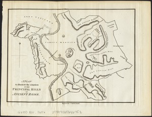
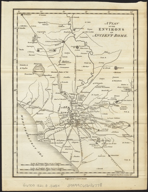
A plan of the environs of ancient Rome
Item Information
- Title:
- A plan of the environs of ancient Rome
- Creator:
- Smith, Charles, fl. 1799-1852
- Date:
-
[1821]
- Format:
-
Maps/Atlases
- Location:
-
Boston Public Library
Norman B. Leventhal Map Center - Collection (local):
-
Norman B. Leventhal Map Center Collection
- Subjects:
-
Rome--Maps
- Places:
-
Roman Empire
- Extent:
- 1 map ; 24 x 18 cm.
- Terms of Use:
-
No known copyright restrictions.
No known restrictions on use.
- Publisher:
-
London :
Printed by J.F. Dove ... for Priestley and Weale
- Scale:
-
Scale ca. 1:412,000.
- Language:
-
English
- Notes:
-
Relief shown by hachures.
Engraved by C. Smith, Strand.
Appears in Nathaniel Hooke's The Roman history, from the building of Rome to the ruin of the commonwealth ... London: Printed by J.F. Dove ... for Priestley and Weale, 1821. Vol. 6.
- Notes (date):
-
This date is inferred.
- Identifier:
-
06_01_007665
- Call #:
-
G6700 1821.3 .S65x
- Barcode:
-
39999065646778