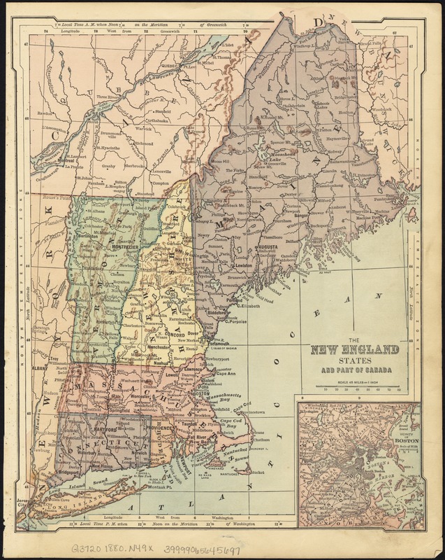
The New England states and part of Canada
Item Information
- Title:
- The New England states and part of Canada
- Date:
-
[1880–1890]
- Format:
-
Maps/Atlases
- Location:
-
Boston Public Library
Norman B. Leventhal Map Center - Collection (local):
-
Norman B. Leventhal Map Center Collection
- Subjects:
-
New England--Maps
- Places:
-
New England (area)
- Extent:
- 1 map : col. ; 29 x 23 cm.
- Terms of Use:
-
No known copyright restrictions.
No known restrictions on use.
- Publisher:
-
S.l :
s.n.
- Scale:
-
Scale 1:2,851,200.
- Language:
-
English
- Notes:
-
Relief shown by hachures.
Inset: Vicinity of Boston.
From atlas. P. 32 on verso. Heading reads "Eastern states, or New England."
Includes population statistics from 1880 on verso.
- Notes (date):
-
This date is inferred.
- Identifier:
-
06_01_007632
- Call #:
-
G3720 1880 .N49x
- Barcode:
-
39999065645697


