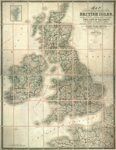
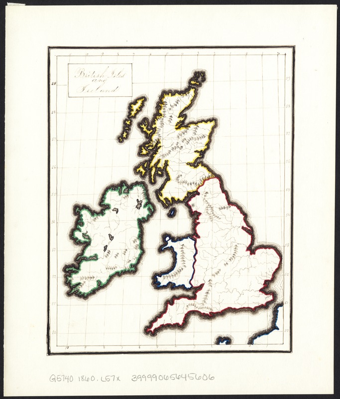
British Isles and Ireland
Item Information
- Title:
- British Isles and Ireland
- Creator:
- Littlefield, F. A.
- Date:
-
1860
- Format:
-
Maps/Atlases
Manuscripts
- Location:
-
Boston Public Library
Norman B. Leventhal Map Center - Collection (local):
-
Norman B. Leventhal Map Center Collection
- Subjects:
-
British Isles--Maps
Ireland--Maps
- Places:
-
British Isles (area)
Ireland
- Extent:
- 1 ms. map : col. ; 17 x 14 cm.
- Terms of Use:
-
No known copyright restrictions.
No known restrictions on use.
- Scale:
-
Scale not given.
- Language:
-
English
- Notes:
-
Manuscript map.
Map most likely represents geography project by 19th century student.
Date and signature on verso.
- Identifier:
-
06_01_008668
- Call #:
-
G5740 1860 .L57x
- Barcode:
-
39999065645606