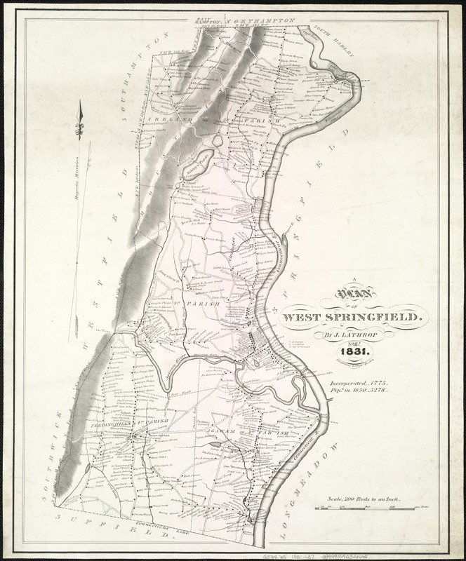
A plan of West Springfield
Item Information
- Title:
- A plan of West Springfield
- Creator:
- Lathrop, J., fl. 1831
- Name on Item:
-
by J. Lathrop.
- Date:
-
1831
- Format:
-
Maps/Atlases
- Location:
-
Boston Public Library
Norman B. Leventhal Map Center - Collection (local):
-
Norman B. Leventhal Map Center Collection
- Subjects:
-
Landowners--Massachusetts--West Springfield--Maps
Real property--Massachusetts--West Springfield--Maps
West Springfield (Mass.)--Maps
- Places:
-
Hampden (county)West Springfield
- Extent:
- 1 map ; 55 x 42 cm.
- Terms of Use:
-
No known copyright restrictions.
No known restrictions on use.
- Publisher:
-
Boston :
Pendleton's Lithogy
- Scale:
-
Scale [1:39,600]. 200 rods = 1 in.
- Language:
-
English
- Notes:
-
General map showing householders' names.
Relief shown by shading.
Includes note.
- Identifier:
-
06_01_007521
- Call #:
-
G3764.W5 1831 .L37
- Barcode:
-
39999059032662
- LCCN:
-
2007626187


