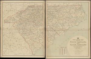
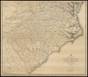
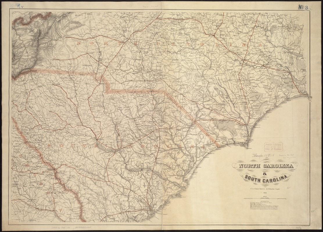
North Carolina & South Carolina
Item Information
- Title:
- North Carolina & South Carolina
- Creator:
- Lindenkohl, A.
- Name on Item:
-
drawn by A. Lindenkohl ; Chas. G. Krebs, lith.
- Date:
-
1865
- Format:
-
Maps/Atlases
- Location:
-
Boston Public Library
Norman B. Leventhal Map Center - Collection (local):
-
Norman B. Leventhal Map Center Collection
- Subjects:
-
Coasts--North Carolina
Coasts--South Carolina
North Carolina--Maps
South Carolina--Maps
- Places:
-
North Carolina
South Carolina
- Extent:
- 1 map : col. ; 64 x 90 cm.
- Terms of Use:
-
No known copyright restrictions.
No known restrictions on use.
- Publisher:
-
[S.l.] :
U.S. Coast Survey
- Scale:
-
Scale [1:633,600]. 1 inch = 10 miles
- Language:
-
English
- Notes:
-
General map.
"Authorities" used in making the map are listed below the title.
State names, boundaries, and railroads are overprinted in red.
Description derived from published bibliography.
- Identifier:
-
06_01_007454
- Call #:
-
G3912.C6 1865 .L56
- Barcode:
-
39999059031565