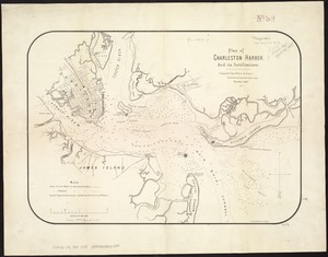
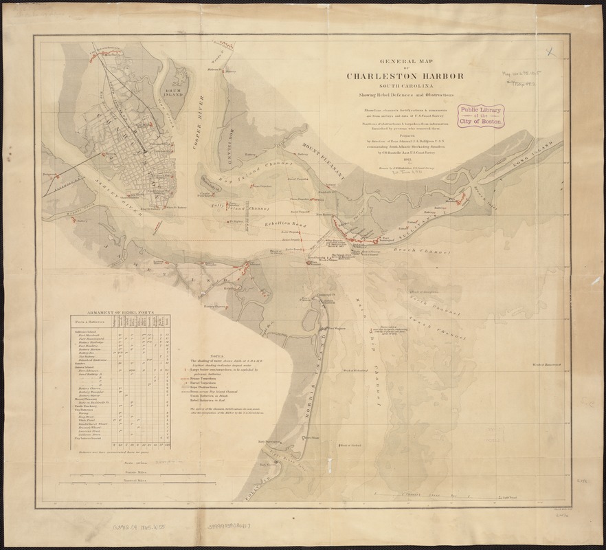
General map of Charleston Harbor South Carolina showing rebel defences and obstructions
Item Information
- Title:
- General map of Charleston Harbor South Carolina showing rebel defences and obstructions
- Creator:
- Willenbücher, Eugene.
- Name on Item:
-
Drawn by E. Willenbücher ; Chas. G. Krebs, Lith.
- Date:
-
1865
- Format:
-
Maps/Atlases
- Location:
-
Boston Public Library
Norman B. Leventhal Map Center - Collection (local):
-
Norman B. Leventhal Map Center Collection
- Subjects:
-
Shipwrecks--South Carolina--Charleston--Maps
Charleston Harbor (S.C.)--Maps
United States--History--Civil War, 1861-1865--Naval operations--Maps
- Places:
-
Charleston (county)Charleston Harbor (bay)
- Extent:
- 1 map : col. ; 54 x 61 cm.
- Terms of Use:
-
No known copyright restrictions.
No known restrictions on use.
- Publisher:
-
Washington, D.C :
[s.n.]
- Scale:
-
Scale 1:30,000.
- Language:
-
English
- Notes:
-
Depths shown by gradient tints.
Shows location of sunken ships.
Includes table of rebel forts.
- Identifier:
-
06_01_007442
- Call #:
-
G3912.C4 1865 .W55
- Barcode:
-
39999059031417
- LCCN:
-
gm 71004125